マナーシティ
場所:マナールはコロンボの北 325 km に位置します。
マナーに到達するマンナール コロンボからマンナールへの通常のルートは、アヌラーダプラとマダワチヤを経由します。
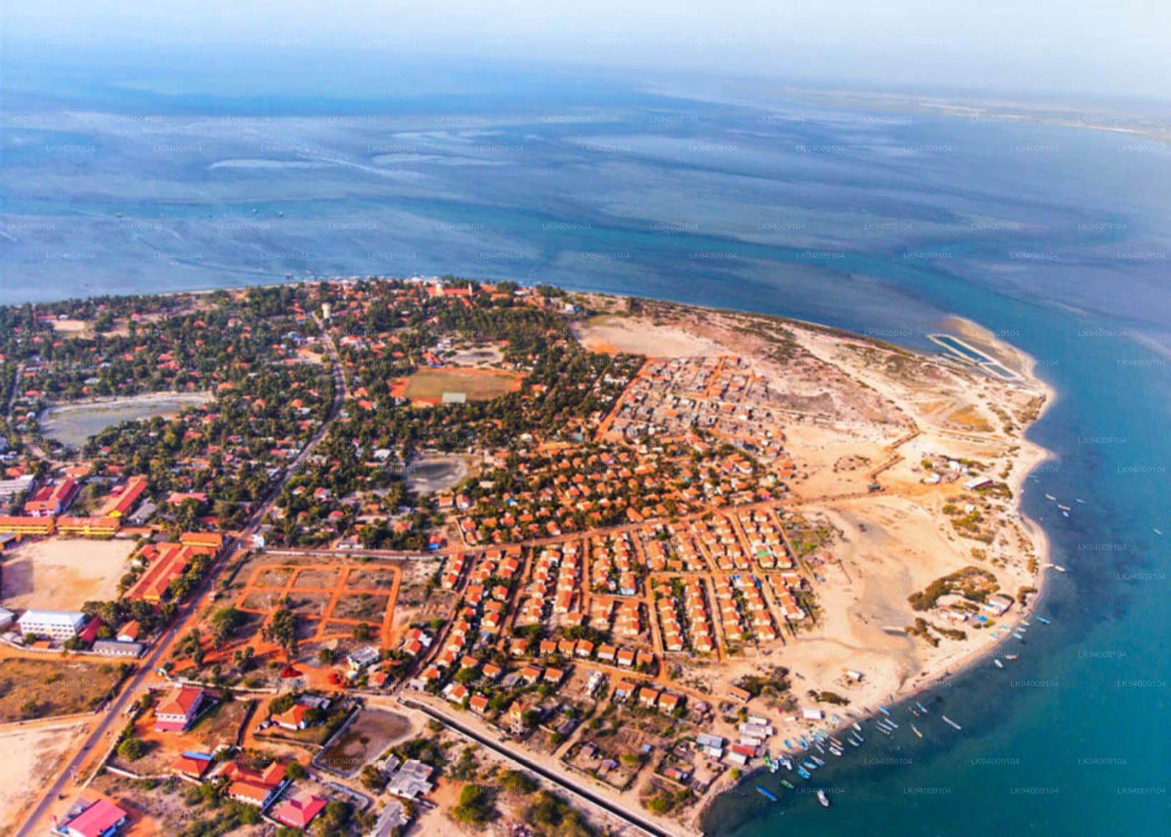
マナー地区スリランカ北部州に属するマナー地区は、本土の一部である地域と国内最大の島であるマナー島で構成されています。マナールへの道はスリランカの乾燥地帯を通ります。マナー地区の風景は、樹木が生い茂るジャングルから水田、揺れるヤシの木までさまざまです。
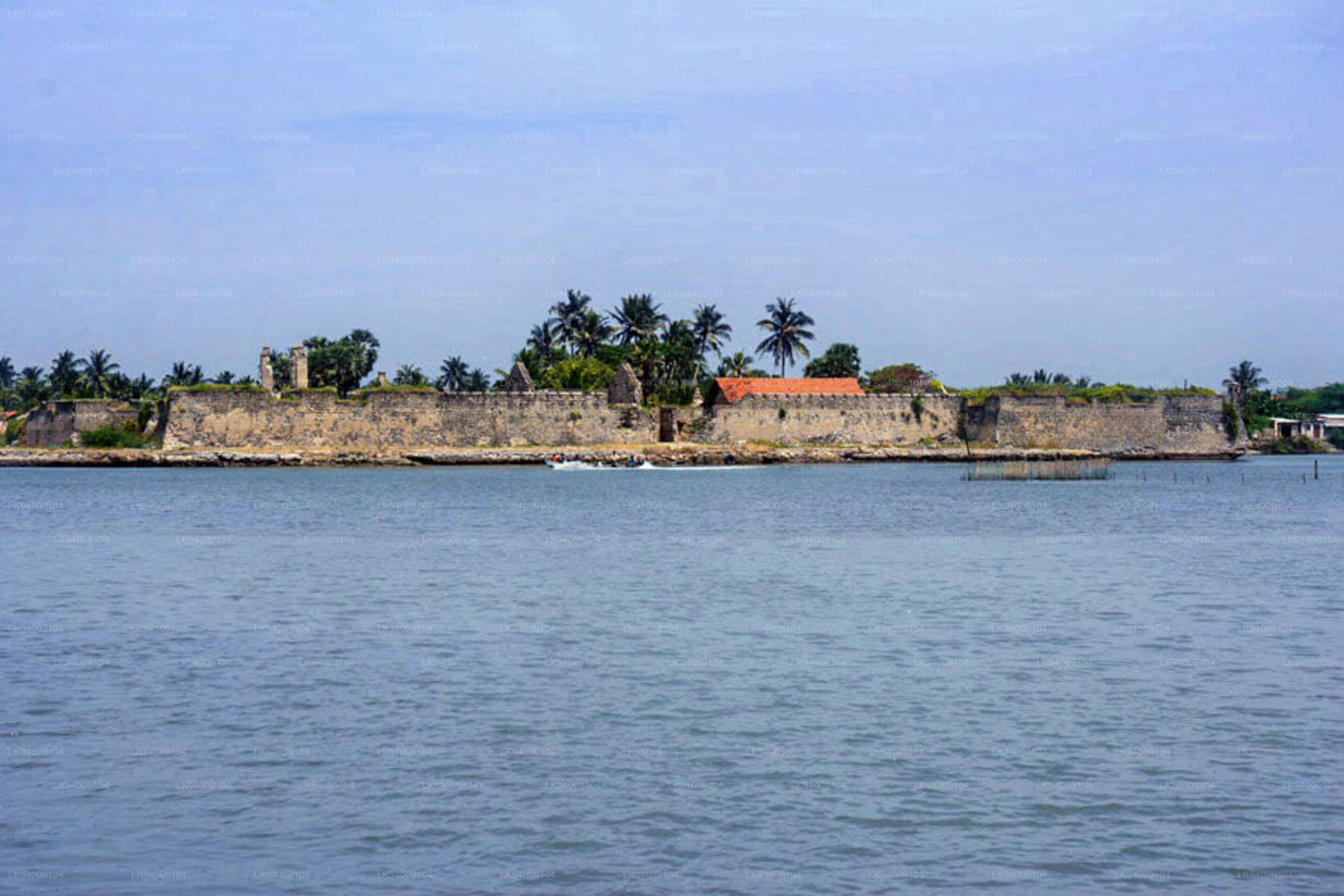
マナー島マナール島はマナール地区にある乾燥した不毛の半島です。島と呼ばれていますが、実際には舌状に形成された半島です。島の最西端であるタライマナールは、南インドの半島の東端であるダヌスコディと、ポーク海峡に沈むサンゴ礁によってほぼつながっています。
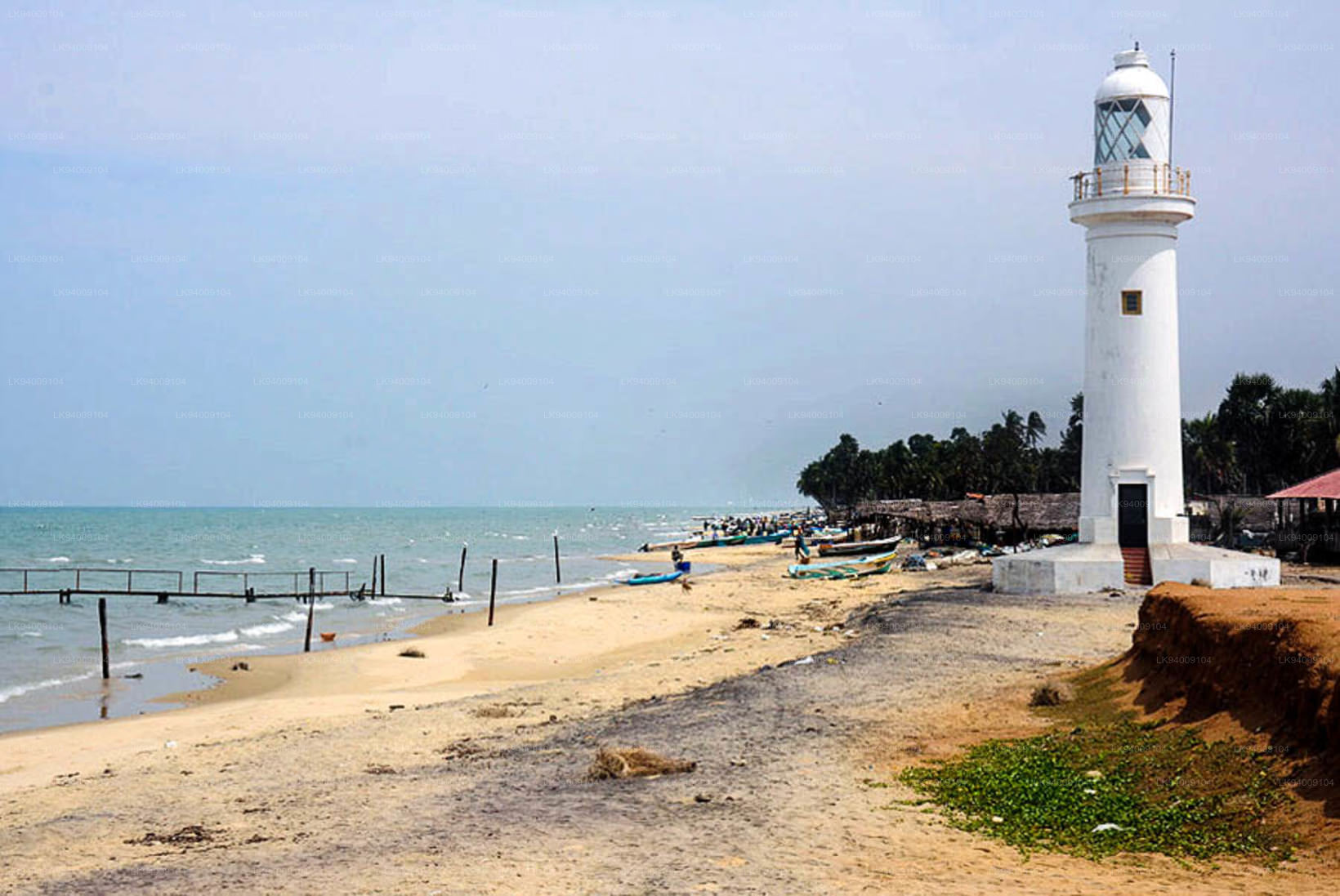
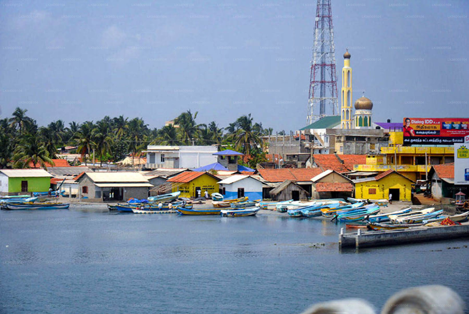
マナー島は、半島と本土を結ぶ細長い土地とは別に、浅瀬にかかる土手道によって接続されており、マダワチヤ - タライマンナール間の幹線道路 A14 の 3 km を形成しています。マナールの小さな漁港は、島の南東の海岸にあります。
マナール島は歴史的に「マンテイ」、「マトータ」、「マハティタ」、「マハプトゥ」、「マワトゥトータ」などの名前で呼ばれてきました。
マナーのハイライト
マドゥの聖マリア教会
マドゥの聖マリア教会 (マドゥの聖母教会) は、マナールの南東 50 km に位置します。マドゥ ロード ジャンクションから A14 マダワチヤ - タライマナール幹線道路を外れ、内陸に車で 12 km (A 378 マドゥ ロード) です。
19 世紀に建てられたポルトガル様式の教会には、教会を訪れるすべての人に祝福をもたらすと信じられているマドゥの聖母像が安置されています。この像は、オランダによる迫害から逃れてきたカトリック教徒によって 1670 年にマドゥに持ち込まれました。人里離れたマドゥの村も、1860 年以上にわたって仏教徒にとって神聖な場所であり、古代ランカにヒンズー教のパティーニ信仰を伝えたガジャ バフ 1 世 (西暦 114 ~ 136 年) の時代からです。
パッティーニ崇拝が、当時首都であり、上座部仏教の輝かしいアジアの学術の中心地であったアヌラーダプラに受け入れられていなかったことに注目することは非常に重要です。パッティーニ デヴァーレ神社は、アヌラーダプラの北西 90 km のマナールに建てられました。ポルトガルがスリランカを統治していた時代、ヒンズー教徒はここをアンマン寺院と呼んでいました。近くのタンクは今でもコヴィル・クラム(デヴァールのタンク)と呼ばれており、これはこの場所のタミル語の名前に由来しています。
頻繁に訪れる巡礼者は、主にパッティーニ アンマ神による治癒力への信仰を目的としてやって来ます。パティーニ・アンマさんの祝福は子供のいない女性たちからも求められている。 1911 年の国勢調査報告書の著者である EB デナム氏は次のように述べています。「これは本質的には森林巡礼です…マドゥの大地は特別な薬効を持っていると考えられており、したがって神聖であり、その結果、『マドゥの薬』の効果で病気が治るという評判が生まれました。ケース。興味深いのは、1911 年にはマドゥに永住者がいなかったことです。 1911 年 3 月 10 日の国勢調査の日、マドゥにいたのは 320 人の巡礼者だけで、そのうち 230 人はコロンボ市とチラウ地区から来たシンハラ人でした。
英国公務員の RW レバーズ氏は、北中部州のマニュアルの中で次のように記録しています。 、パッティーニ・アンマ寺院(アンマン・コヴィル)としてそこに頼る人々。」
1876 年からそこに教会を建設することにより、ジャフナのカトリック司教は、パッティーニ アンマの治癒力に対する古くからの一般的な信仰を、キリスト教信仰における聖母マリアの啓発に都合よく利用しました。しかし、この場所は依然として仏教徒とヒンズー教徒にとって神聖な場所です。
マドゥの祝祭マドゥ祭は8月中旬に開催されます。 8月15日は聖母被昇天の日であり、スリランカ全土から50万人以上の信者が集まると予想されている。ローマ・カトリック教会によれば、聖母被昇天の日は、聖母マリアが地上での生涯を終え、身も魂も天の栄光に移された日を祝う日です。