Arugam Bay City
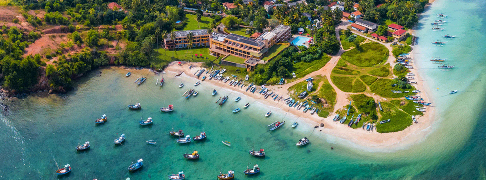
Arugam Bay is a charming coastal town located on the eastern coast of Sri Lanka. Known for its stunning beaches, it's a popular destination for surfers due to its consistent waves. The area also offers a laid-back atmosphere, diverse wildlife, and a variety of accommodations, making it a top tourist spot.
パナマ湖
パナマ運河 (スペイン語: Canal de Panamá) は、大西洋と太平洋を結ぶパナマの 82 km (51 マイル) の人工水路です。この運河はパナマ地峡を横切り、海上貿易のための導管です。これまで実施された中で最も大規模かつ最も困難なエンジニアリング プロジェクトの 1 つであるパナマ運河の近道は、船舶が大西洋と太平洋の間を移動する時間を大幅に短縮し、南米最南端を巡る長くて危険なホーン岬航路を回避できるようになります。ドレーク海峡またはマゼラン海峡、さらに人気の低い北極諸島とベーリング海峡を通るルートもあります。
コロンビア、フランス、そして後には米国が建設中に運河の周囲の領土を管理した。フランスは 1881 年に運河の建設作業を開始しましたが、技術的な問題と労働者の死亡率の高さのため中止されました。米国は 1904 年 5 月 4 日にこのプロジェクトを引き継ぎ、1914 年 8 月 15 日に運河を開通させた。米国は 1977 年のトリホス・カーター条約でパナマへの引き渡しが規定されるまで、運河とその周囲のパナマ運河地帯を管理し続けた。アメリカとパナマの共同管理期間を経て、この運河は 1999 年にパナマ政府に接収されました。現在は政府所有のパナマ運河庁によって管理、運営されています。
運河の両端にある閘門は、運河の掘削作業の量を減らすために造られた海抜 26 m (85 フィート) の人造湖であるガトゥン湖まで船を持ち上げ、反対側の端で船を下ろします。元の水門の幅は 33.5 m (110 フィート) です。 3 番目の幅の広い閘門レーンが 2007 年 9 月から 2016 年 5 月にかけて建設されました。拡張された水路は 2016 年 6 月 26 日に商業運転を開始しました。新しい閘門により、より大型のニュー パナマックス船の通航が可能になりました。
年間交通量は、運河が開通した 1914 年の船舶約 1,000 隻から、2008 年には 14,702 隻、パナマ運河/ユニバーサル測定システム (PC/UMS) 合計 3 億 3,370 万トンに増加しました。 2012 年までに 815,000 隻以上の船舶がこの運河を通過しました。 2017 年、船が運河の 2 つの閘門の間を通過するのに平均 11.38 時間かかりました。米国土木学会は、パナマ運河を現代世界の七不思議の 1 つにランク付けしました。
About Ampara District
Ampara is belongs to the Eastern Province of Sri Lanka. It is a remote city on the East Coast of Sri Lanka, about 360 km from the capital city of Colombo. Ampara is the largest paddy harvesting province in the country, and has the Indian Ocean on the east coast of Sri Lanka as a fisheries resource. Most of the civilians are Sinhala, while Tamils and Sri Lankan Moors also live in the coastal parts of the district.
About Eastern Province
The Eastern Province is one of the 9 provinces of Sri Lanka. The provinces have existed since the 19th century but they didn't have any legal status until 1987 when the 13th Amendment to the 1978 Constitution of Sri Lanka established provincial councils. Between 1988 and 2006 the province was temporarily merged with the Northern Province to form the North-East Province. The capital of the province is Trincomalee. The Eastern province's population was 1,460,939 in 2007. The province is the most diverse in Sri Lanka, both ethnically and religiously.
Eastern province has an area of 9,996 square kilometers (3,859.5 sq mi).The province is surrounded by the Northern Province to the north, the Bay of Bengal to the east, the Southern Province to the south, and the Uva, Central and North Central provinces to the west. The province's coast is dominated by lagoons, the largest being Batticaloa lagoon, Kokkilai lagoon, Upaar Lagoon and Ullackalie Lagoon.


