
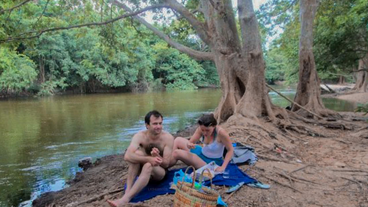
カラ オヤ (කලා ඔය)
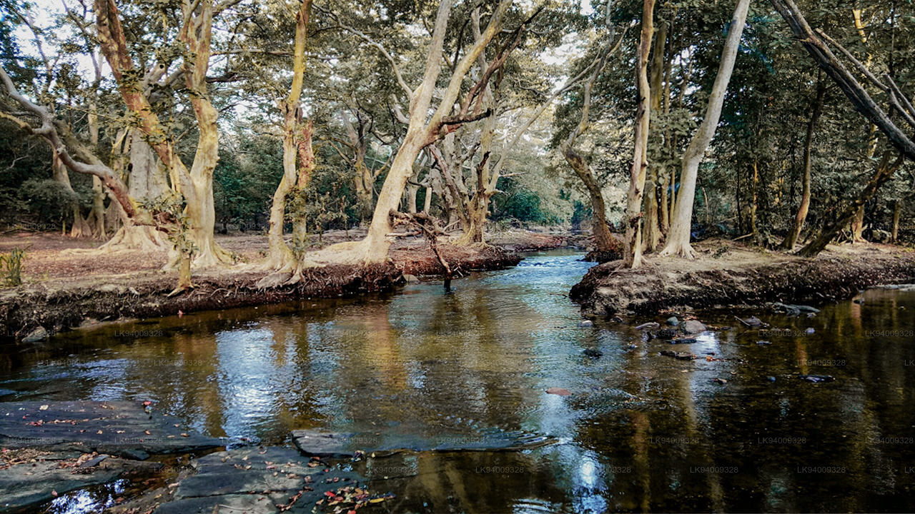
スリランカには世界最古の灌漑の伝統があり、その起源は紀元前 500 年まで遡ります。叙事詩の英雄パラクラマ バフ 1 世 (1153-86) の有名な格言には、「雨として地上に降る水の一滴も、人間の役に立たずに海に到達させてはならない」とあります。これら古代のタンク(貯水池)灌漑システムを中心に、初期スリランカ社会の経済と人間の居住地が「水利文明」として組織化されました。肥沃な川の渓谷や洪水貯留地域で成長したほとんどの古代文明の場合とは異なり、スリランカの水力社会は貯水池システムと、灌漑用水を放出するための制御装置またはビソコトゥワに基づいていました。報告によると、その発展の最盛期には、古代スリランカの水力技術者が他国で奉仕するよう求められたことさえあった。現在のスリランカの地図、特に乾燥地帯には、さまざまなサイズや形状の文字通り何千もの古代の戦車が点在しており、一部は運用されており、一部は長い間放置されていました。これらの古代のタンク システムは、生態学的にも生物学的にも重要です。重要な問題は季節性と保水期間であり、これは生物多様性と生態系に大きな影響を与えます。自然現象により、乾季には水位が非常に低くなり、多くのタンクは雨季に再び水が満たされる前に完全に乾燥します。乾季に牛の放牧に使用することで、水槽内の栄養素を高レベルに維持し、結果として高レベルの水生生物多様性をサポートします。
-
 Malwathu Oya (මල්වතු ඔය)
The Malvathu River long river in Sri Lanka, connecting the city of Anuradhapura, which was the capital of the country for over 15 centuries, to the coast of Mannar. It currently ranks as the second longest river in the country, with a great historic significance.
-
 Kelani River (කැලණි ගඟ)
The Kelani River is a 145-kilometre-long (90 mi) river in Sri Lanka. Ranking as the fourth-longest river in the country, it stretches from the Sri Pada Mountain Range to Colombo. It flows through or borders the Sri Lankan districts of Nuwara Eliya, Ratnapura, Kegalle, Gampaha and Colombo.
-
 Yan Oya (යාන් ඔය)
The Yan Oya is the fifth-longest river of Sri Lanka. It measures approximately 142 km (88 mi) in length. Its catchment area receives approximately 2,371 million cubic metres of rain per year, and approximately 17 percent of the water reaches the sea. It has a catchment area of 1,520 square kilometres.
-
 Walawe River (වලවේ ගඟ)
The southern region of Sri Lanka is exalted by a bushel of enthralling and glorified rivers and the Walawe River is one of them. Gently flowing through the Udawalawe National Park, the Walawe River provides water for a multitude of species of mesmerising fauna.
-
 Kalu Ganga (කළු ගඟ)
Kalu Ganga is a river in Sri Lanka. Measuring 129 km (80 mi) in length, the river originates from Sri Padhaya and reach the sea at Kalutara. The Black River flows through the Ratnapura and the Kalutara District and pass the city Ratnapura. The mountainous forests in the Central Province and the Sinharaja Forest Reserve are the main sources of water for the river.
-
 Maha Oya (මහ ඔය)
The Maha Oya is a major stream in the Sabaragamuwa Province of Sri Lanka. It measures approximately 134 km (83 mi) in length. It runs across four provinces and five districts. Maha Oya has 14 Water supply networks to serve the need of water and more than 1 million people live by the river.
-
 Gin Ganga (ගිං ගඟ)
The Gin Ganga, is a 115.9 km (72 mi) long river situated in Galle District of Sri Lanka. The river's headwaters are located in the Gongala Mountain range, near Deniyaya, bordering the Sinharaja Forest Reserve.
-
 Kala Oya (කලා ඔය)
It was around these ancient tank (water storage reservoir) irrigation systems that the economy and human settlements of early Sri Lankan society were organised into a “hydraulic civilization”.
-
 Deduru Oya (දැදුරු ඔය)
The Deduru Oya Dam is an embankment dam built across the Deduru River in Kurunegala District of Sri Lanka. Built in 2014, the primary purpose of the dam is to retain approximately a billion cubic metres of water for irrigation purposes, which would otherwise flow out to sea.
-
 Maduru Oya (මාදුරු ඔය)
The Maduru Oya is a major stream in the North Central Province of Sri Lanka. It is approximately 135 km (84 mi) in length. Its catchment area receives approximately 3,060 million cubic metres of rain per year, and approximately 26 percent of the water reaches the sea.
-
 Kumbukkan Oya (කුඹුක්කන් ඔය)
The Kumbukkan Oya is the twelfth-longest river of Sri Lanka. It is approximately 116 km (72 mi) long. It runs across two provinces and two districts. Its catchment area receives approximately 2,115 million cubic metres of rain per year, and approximately 12 percent of the water reaches the sea.
-
 Mi Oya (මී ඔය)
The Mi oya is a 108 km (67 mi) long river, in North Western of Sri Lanka. It is the fifteenth-longest river in Sri Lanka. It begins in Saliyagama and flows northwest, emptying into the Indian Ocean thru Puttalam.


