Rivers
The rich network of rivers in Sri Lanka make the island an oasis at any time of year, naturally watering the paradise garden with its splendid heritage. The highest concentration of rivers and lakes is found in the south-west of the country, making it possibly the most fertile area in Sri Lanka.
ヤン・オヤ (යාන් ඔය)
ヤン オヤ川はスリランカで 5 番目に長い川です。長さは約 142 km (88 マイル) です。流域面積は年間約 23 億 7,100 万立方メートルの雨が降り、その水の約 17 パーセントが海に到達します。流域面積は 1,520 平方キロメートルです。
ヤン・オヤ・プロジェクト
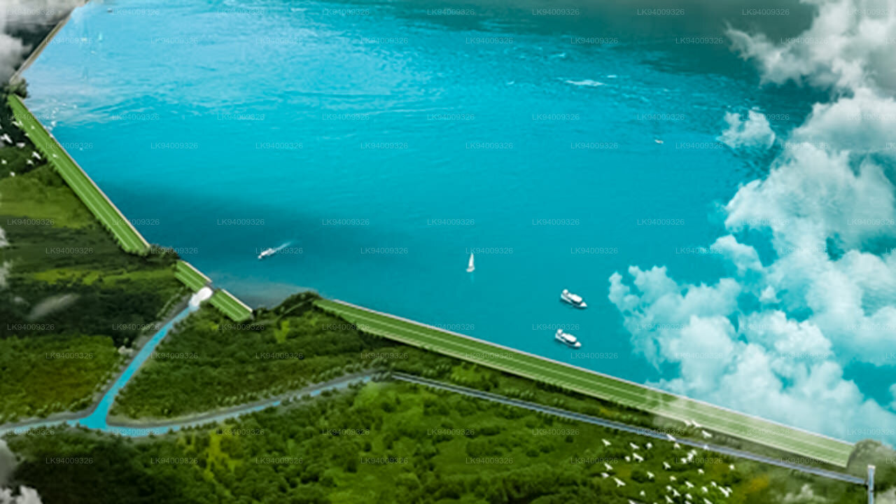
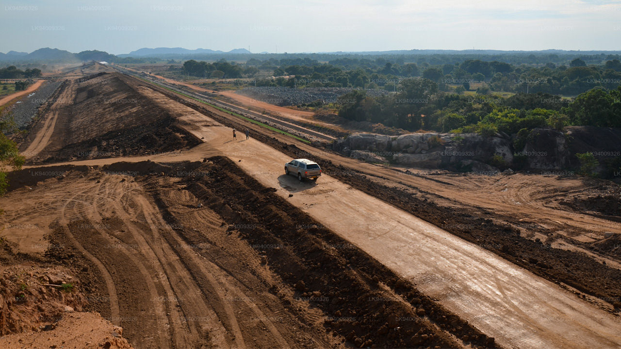
灌漑・水資源管理省によると、北中部州最大の灌漑プロジェクトであるヤン・オヤ灌漑プロジェクトの作業が加速している。ヤン・オヤ貯水池は、両季節にアヌラーダプラ地区とトリンコマリー地区の農業用灌漑施設を提供するとともに、この地域の飲料水施設を改善し、トリンコマリーの町に飲料水と灌漑施設を24時間提供します。ヤン オヤ貯水池は、トリンコマリー地区のパングルガスウェワにある東部州プルモダイから海に流れるヤン オヤ川を渡るダムを建設することによって建設されます。計画されているヤン オヤ貯水池の水容量はほぼ 140,000 エーカー フィートです。このプロジェクトの推定コストは 2000 万ルピーです。 340億人は、アヌラーダプラ地区とトリンコマリー地区の約5,700ヘクタールの土地を灌漑するために、長さ約2.35キロメートルの主土製ダムと長さ3.59キロメートルのサドルダム、および左岸(LB)と右岸(RB)に長さ34キロメートルの運河システムを建設することを計画している。これには、特にヤラの季節に深刻な水不足が見られるパダヴィヤ計画の下にある既存の土地 2,200 ヘクタールが含まれます。これにより、ワハルカダ計画に基づく既存の土地 140 ヘクタール、LB 運河沿いの新規土地 100 ヘクタール、およびトリンコマリー地区のヤン・オヤ・アニカット(750 ヘクタール)およびミーオヤ盆地(1735 ヘクタール)の小規模計画に基づく既存の土地にも水が供給されることになる。
-
 Malwathu Oya (මල්වතු ඔය)
The Malvathu River long river in Sri Lanka, connecting the city of Anuradhapura, which was the capital of the country for over 15 centuries, to the coast of Mannar. It currently ranks as the second longest river in the country, with a great historic significance.
-
 Kelani River (කැලණි ගඟ)
The Kelani River is a 145-kilometre-long (90 mi) river in Sri Lanka. Ranking as the fourth-longest river in the country, it stretches from the Sri Pada Mountain Range to Colombo. It flows through or borders the Sri Lankan districts of Nuwara Eliya, Ratnapura, Kegalle, Gampaha and Colombo.
-
 Yan Oya (යාන් ඔය)
The Yan Oya is the fifth-longest river of Sri Lanka. It measures approximately 142 km (88 mi) in length. Its catchment area receives approximately 2,371 million cubic metres of rain per year, and approximately 17 percent of the water reaches the sea. It has a catchment area of 1,520 square kilometres.
-
 Walawe River (වලවේ ගඟ)
The southern region of Sri Lanka is exalted by a bushel of enthralling and glorified rivers and the Walawe River is one of them. Gently flowing through the Udawalawe National Park, the Walawe River provides water for a multitude of species of mesmerising fauna.
-
 Kalu Ganga (කළු ගඟ)
Kalu Ganga is a river in Sri Lanka. Measuring 129 km (80 mi) in length, the river originates from Sri Padhaya and reach the sea at Kalutara. The Black River flows through the Ratnapura and the Kalutara District and pass the city Ratnapura. The mountainous forests in the Central Province and the Sinharaja Forest Reserve are the main sources of water for the river.
-
 Maha Oya (මහ ඔය)
The Maha Oya is a major stream in the Sabaragamuwa Province of Sri Lanka. It measures approximately 134 km (83 mi) in length. It runs across four provinces and five districts. Maha Oya has 14 Water supply networks to serve the need of water and more than 1 million people live by the river.
-
 Gin Ganga (ගිං ගඟ)
The Gin Ganga, is a 115.9 km (72 mi) long river situated in Galle District of Sri Lanka. The river's headwaters are located in the Gongala Mountain range, near Deniyaya, bordering the Sinharaja Forest Reserve.
-
 Kala Oya (කලා ඔය)
It was around these ancient tank (water storage reservoir) irrigation systems that the economy and human settlements of early Sri Lankan society were organised into a “hydraulic civilization”.
-
 Deduru Oya (දැදුරු ඔය)
The Deduru Oya Dam is an embankment dam built across the Deduru River in Kurunegala District of Sri Lanka. Built in 2014, the primary purpose of the dam is to retain approximately a billion cubic metres of water for irrigation purposes, which would otherwise flow out to sea.
-
 Maduru Oya (මාදුරු ඔය)
The Maduru Oya is a major stream in the North Central Province of Sri Lanka. It is approximately 135 km (84 mi) in length. Its catchment area receives approximately 3,060 million cubic metres of rain per year, and approximately 26 percent of the water reaches the sea.
-
 Kumbukkan Oya (කුඹුක්කන් ඔය)
The Kumbukkan Oya is the twelfth-longest river of Sri Lanka. It is approximately 116 km (72 mi) long. It runs across two provinces and two districts. Its catchment area receives approximately 2,115 million cubic metres of rain per year, and approximately 12 percent of the water reaches the sea.
-
 Mi Oya (මී ඔය)
The Mi oya is a 108 km (67 mi) long river, in North Western of Sri Lanka. It is the fifteenth-longest river in Sri Lanka. It begins in Saliyagama and flows northwest, emptying into the Indian Ocean thru Puttalam.

