Sigiriya City
Sigiriya, a UNESCO World Heritage Site in Sri Lanka, is an ancient rock fortress and palace with stunning frescoes and extensive gardens. Rising dramatically from the plains, it's a testament to the island's rich history and architectural ingenuity. Explore the enchanting beauty and cultural significance of Sigiriya.
村ツアー
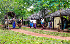
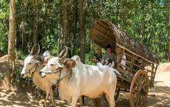
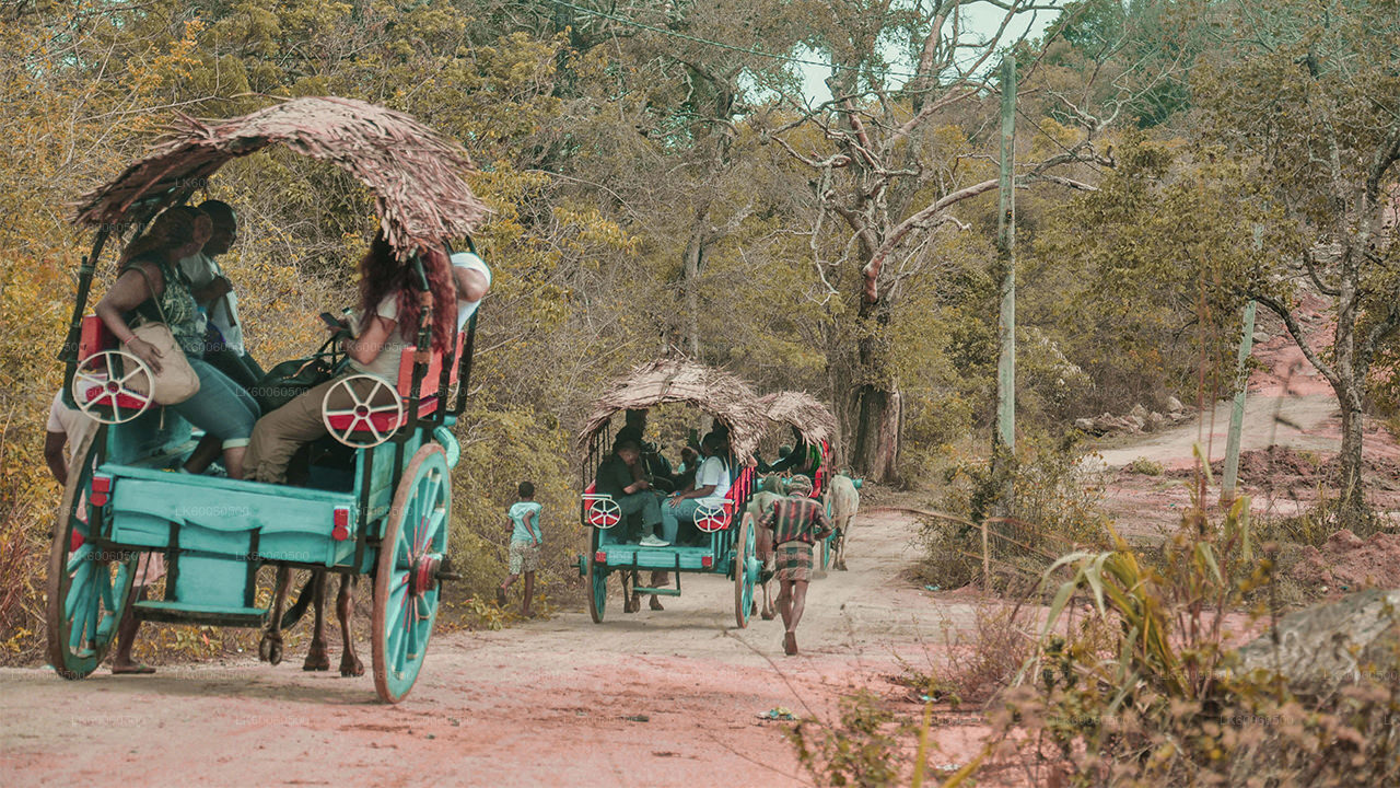
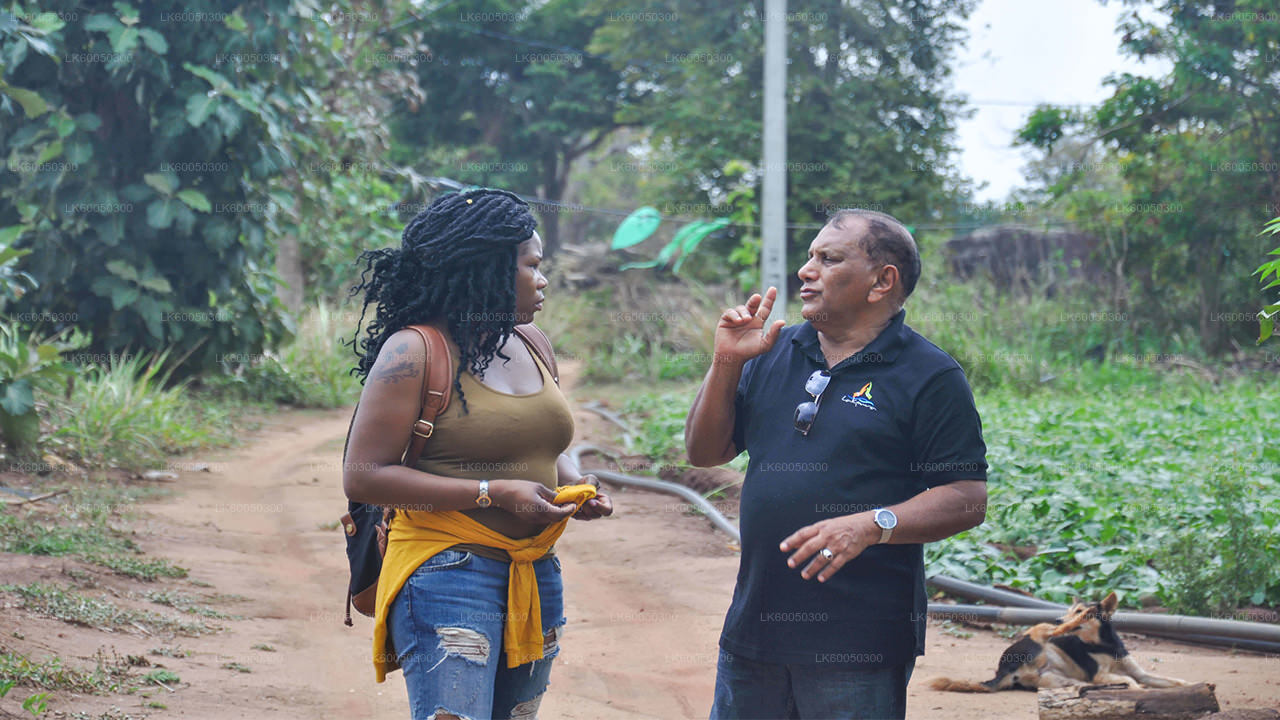
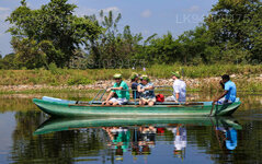
このホリデーシーズンに、ラクプラが提供するビレッジツアーでスリランカの田舎の生活を体験してください。村人たちと時間を過ごし、彼らのライフスタイルを理解しましょう。村民の日常生活の一部である多くの田舎の活動に参加します。牛車に乗ったり、双胴船に乗ったり、野原を散歩したりできます。伝統的なスリランカ料理の作り方を学びましょう。ツアーの最後には、スリランカの素朴なスタイルで提供される、非常においしいビュッフェ式ランチをお楽しみください。これはまさにスリランカの休日体験です。
About Central Provincce
The Central Province of Sri Lanka consists primarily of mountainous terrain. The province has an area of 5,674 km², and a population of 2,421,148. Some major towns include Kandy, Gampola (24,730), Nuwara Eliya and Bandarawela. The population is a mixture of Sinhalese, Tamil and the Moors.
Both the hill capital Kandy and the city of Nuwara Eliya are located within the Central Province as well as Sri Pada. The province produces much of the famous Ceylon tea, planted by the British in the 1860s after a devastating disease killed all the coffee plantations in the province. Central Province attracts many tourists, with hill station towns such as Kandy, Gampola, Hatton and Nuwara Eliya. Temple tooth or Dalada maligawa is the main sacred place in Centrel province.
The climate is cool, and many areas about 1500 meters often have chilly nights. The western slopes are very wet, some places having almost 7000 mm of rain per year. The eastern slopes are parts of the mid-dry zone as it is receiving rain only from North-Eastern monsoon. The Temperatures range from 24°C at Kandy to just 16°C in Nuwara Eliya, which is located 1,889 m above sea level. The highest mountains in Sri Lanka are located in the Central Province. The terrain is mostly mountainous, with deep valleys cutting into it. The two main mountain regions are the central massif and the Knuckles range to the east of Kandy.

