
Provinces
The Democratic Socialist Republic of Sri Lanka (known as Ceylon until 1972) is located in the Indian Ocean between the Laccadive Sea in the west and the Bay of Bengal in the east, separated by the Palk Strait and the Gulf of Mannar from Tamil Nadu, an Indian state on the southern coast of the Indian subcontinent.
州
スリランカでは、州が第一レベルの行政区画です。これらは 1833 年に英国のセイロン統治者によって初めて設立されました。次の 1 世紀にわたって、ほとんどの行政機能は第 2 レベルの行政区画である地区に移管されました。 20世紀半ばまでに、地方は単なる儀式的なものになってしまった。この状況は 1987 年に変わりました。数十年にわたる地方分権化への要求の高まりを受けて、1978 年のスリランカ憲法修正第 13 条により州議会が設立されました。現在9つの州があります。
-
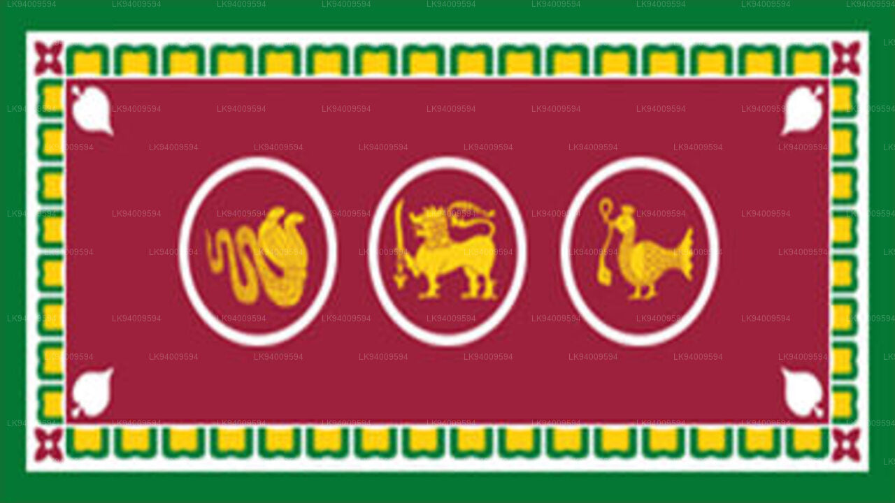 Western Province
The most densely populated province of Sri Lanka, the Western Province which is 3,593 km2 in extent is home to the country’s legislative capital Sri Jayewardenepura. It is also home to the country’s commercial hub, Colombo.
-
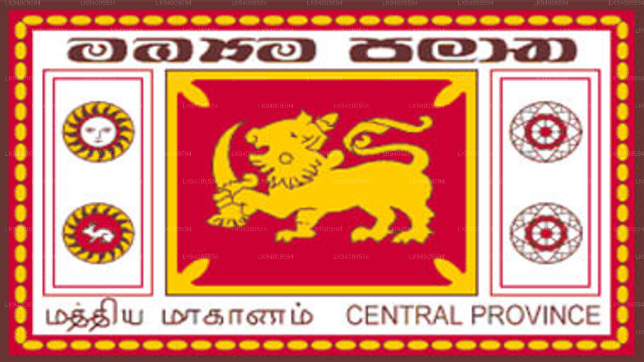 Central Province
The Central Province is located in the central hills of Sri Lanka comprising of three administrative districts: Kandy, Matale and Nuwara-Eliya. The land area of the province is 5,575 km2 which is 8.6% of the total land area of Sri Lanka.
-
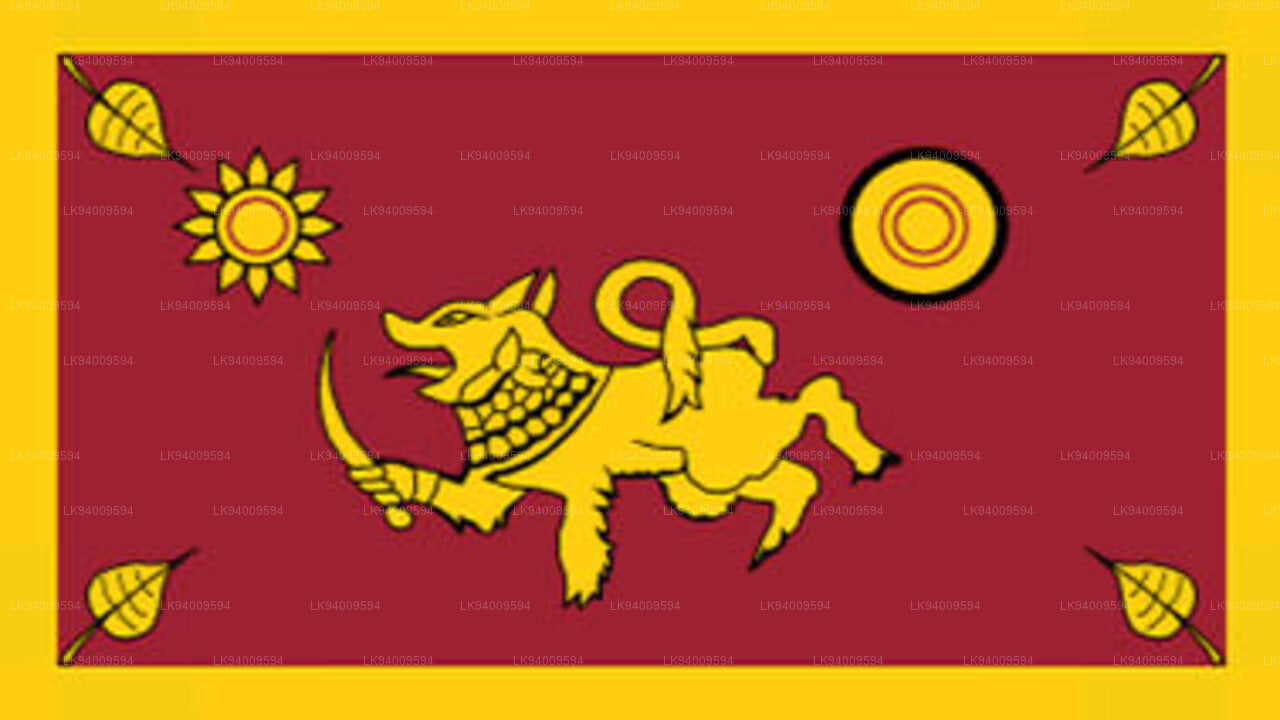 Southern Province
The Southern Province of Sri Lanka is a small geographic area consisting of three districts: Galle, Matara and Hambantota. Farming and fishing are the main sources of income for the vast majority of the people in this region.
-
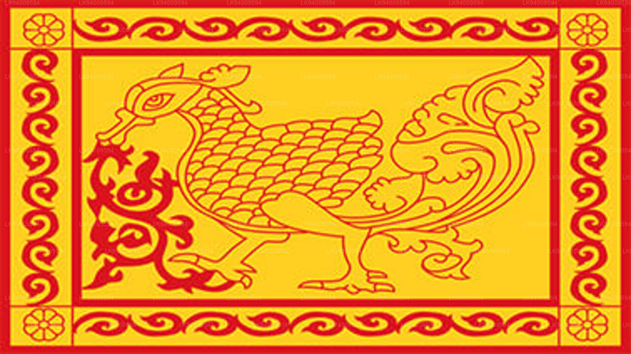 Uva Province
The Uva Province consists of two districts: Badulla and Moneragala while the capital of the province is Badulla. Uva is bordered by the Eastern, Southern and Central provinces.
-
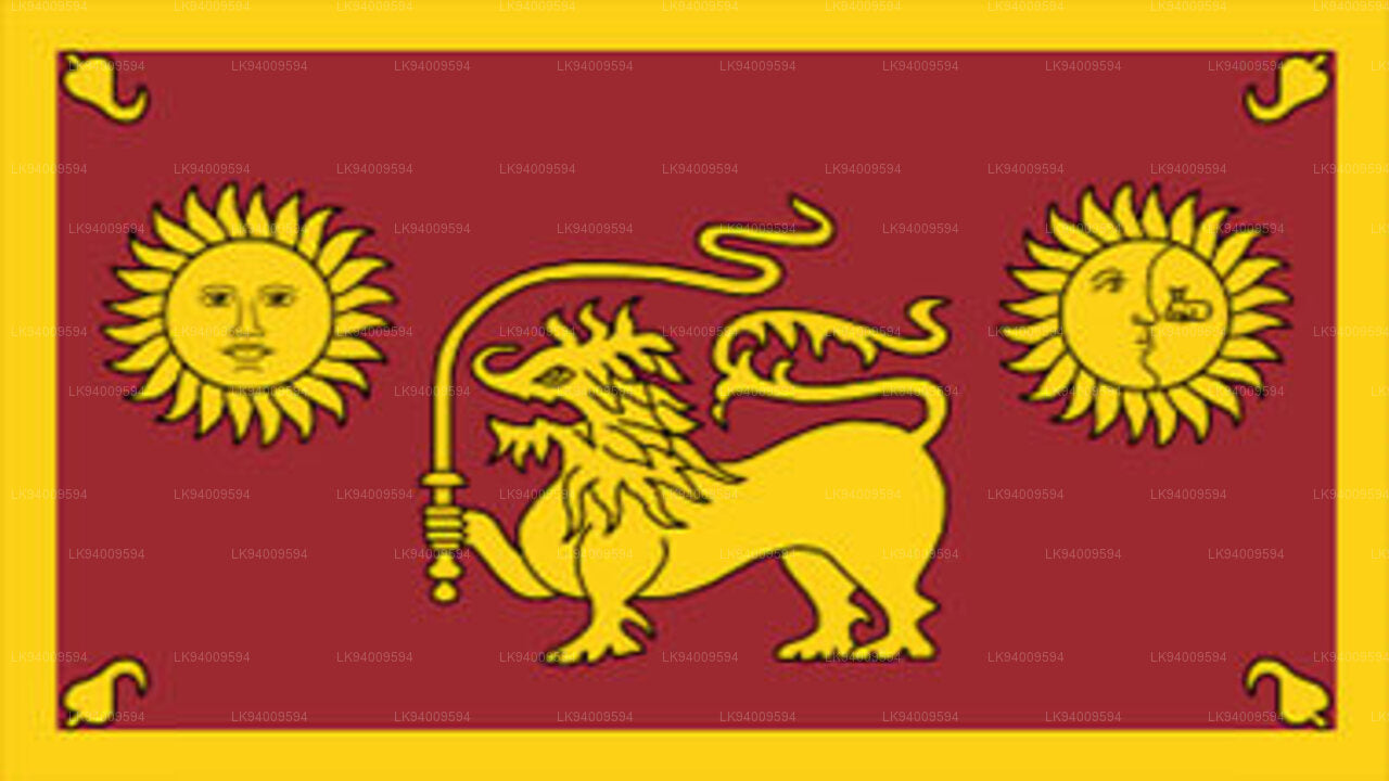 Sabaragamuwa Province
Sabaragamuwa is yet another province of Sri Lanka, located in the south-central region of the island and is comprised of two administrative districts: Ratnapura and Kegalle.
-
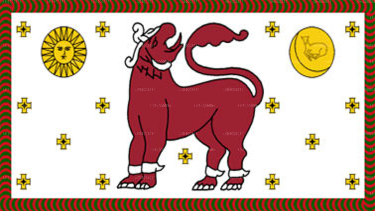 North Western Province
North Western Province is comprised of two administrative districts viz. Kurunegala and Puttalam. The provincial capital is Kurunegala that has a population of 28,571. The province is well known for its coconut plantations.
-
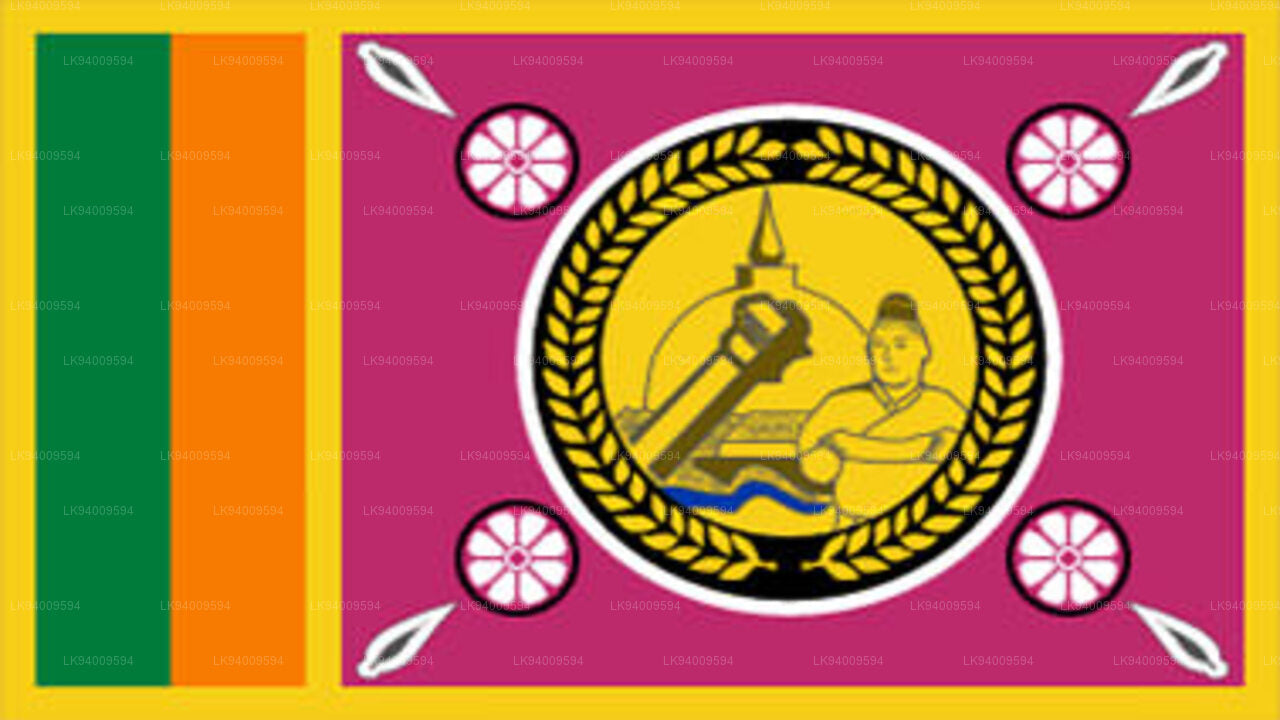 North Central Province
The largest province of Sri Lanka, located in the dry zone being 10,714 km2 in extent, the North Central Province that consists of two administrative districts viz. Anuradhapura and Polonnaruwa,
-
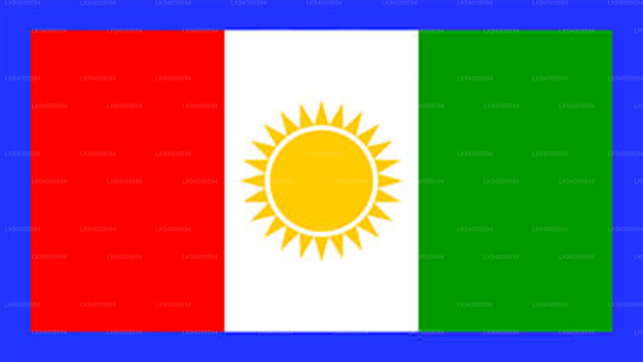 Northern Province
The Northern Province is located in the north of Sri Lanka just 35 km from India. It has a land area of 8,884 km’. The province is surrounded by the Gulf of Mannar and Palk Bay to the west, Palk Strait to the north west, the Bay of Bengal to the north and east and the Eastern, North Central and North Western provinces to the south.
-
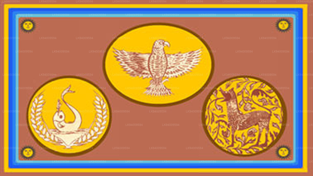 Eastern Province
Another province of Sri Lanka mostly known for its golden beaches and the natural harbour, the Eastern Province which is 9,996 km2 in extent consists of three administrative districts namely Trincomalee, Batticaloa and Ampara.


