
Provinces
The Democratic Socialist Republic of Sri Lanka (known as Ceylon until 1972) is located in the Indian Ocean between the Laccadive Sea in the west and the Bay of Bengal in the east, separated by the Palk Strait and the Gulf of Mannar from Tamil Nadu, an Indian state on the southern coast of the Indian subcontinent.
サバラガムワ州
サバラガムワはスリランカのもう 1 つの州で、島の南中部に位置し、ラトナプラとケーガッラの 2 つの行政区で構成されています。サバラガムワの名前は、かつての先住民族、つまりインド語で狩猟採集部族を表すサバラ族にちなんで名付けられました。この用語は古代スリランカではめったに使用されませんでした。この州は宝石産業、特にラトゥナプラ地区で有名です。宝石産業以外にも、この州は米や果物の栽培、ゴム農園でも知られています。この州には、シンハラジャ森林保護区、ウダワラワ国立公園、キトゥルガラ、アダムズ ピークなどの観光名所もあります。
州都はラトゥナプラで、その名前は「宝石の街」を意味し、スリランカで古くから確立されている宝石産業で最もよく知られている都市です。町の人々のほとんどは宝石貿易に依存しています。周辺地域では宝石の採掘場がよく見られます。大規模な宝石ビジネスマンのほとんどはラトナプラで活動しています。この町ではかなりの数の外国の宝石トレーダーも活動しています。多くの農民が稲作を断念し、より生産性の高いお金を稼ぐ方法である宝石採掘に切り替えているため、ラトナプラでは稲作は現在不確実な将来に直面しています。マンゴーやパパイヤなどのおいしい果物や野菜が市場産品としてたくさん栽培されています。
ラトゥナプラは、首都コロンボと東部州カルムナイを結ぶ高速道路 A4 沿いに位置しています。もう 1 つの高速道路 A8 が町とスリランカ西海岸のパナドゥラを結んでいます。ラトゥナプラは熱帯雨林気候を特徴としています。この都市はスリランカの南西部、いわゆる湿地帯に位置しています。この町には、主に5 月から9 月にかけて南西モンスーンによる降雨があり、頻繁に浸水します。
サバラガムワ州
市内とその周辺には多くの礼拝所があります。その中には、シュリ パダ山 (アダムズ ピーク)、マハ サマン デヴァール、デルガム ヴィハーラヤ、ポスグルヴィハーラヤ、ディーヴァグハヴァ、シヴァ寺院、ジュマ モスク、聖ペテロ、聖パウロ教会、聖ルカ教会などがあります。
クルウィタにあるボパス エラ、ラトゥナプラから 3 km 離れたマハワラワッタにある人気の滝、カトゥガス エラなどの滝は、美しい自然の創造物です。キリンディ エラは、スリランカで 7 番目に高い滝で、ラトゥナプラ - ペルマドゥーラ幹線道路から 4 km のところにあります。ラジャナワ、マラパナ村のラトゥナプラ- カラワナ幹線道路の隣に位置します。
スリランカ最後の王「スリ・ウィクラマ・ラジャシンハ」の時代、エヘレポラ・ニラメは「ディサウェ」つまりその地域の地方知事としてサバラガムワ(ラトナプラ)に派遣されました。彼は地元の稲作農家を支援するために小さな貯水池と水路を建設しました。この英雄の作品は今でもラトナプラ地域のあちこちで見ることができ、地元の人々は今日でも彼の作品から恩恵を受けています。彼の家は地元の博物館の建物として使用されています。エヘレポラの英雄としての描写はかなり物議を醸している。かつて彼はイギリス人と共謀し、キャンディ王を裏切った。王はエヘレポラが王に降伏しない限り家族の処刑を命じた。彼は感情に屈することなく、ナヤッカルの支配者を追放するために人々の側に立った。父親の大義を理解した次男は勇敢に処刑に臨んだ。
ケーガッラはサバラガムワ州の町で、コロンボ-キャンディ道路沿いにあるケーガッラ地区の州都です。コロンボの東 78 km、キャンディの西 40 km にあります。周辺地域では黒鉛、貴石、米などの農産物が生産されています。ケーガッラは農業を基盤とした経済を持ち、主にゴムを生産しています。近くには、主要な観光名所である世界的に有名なピンナワラ象の孤児院があります。
-
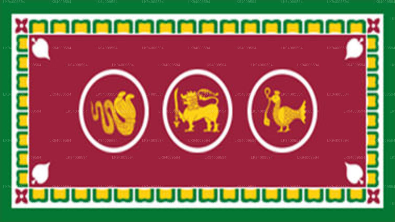 Western Province
The most densely populated province of Sri Lanka, the Western Province which is 3,593 km2 in extent is home to the country’s legislative capital Sri Jayewardenepura. It is also home to the country’s commercial hub, Colombo.
-
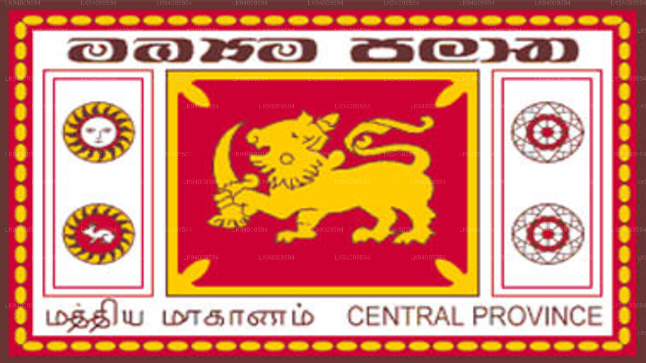 Central Province
The Central Province is located in the central hills of Sri Lanka comprising of three administrative districts: Kandy, Matale and Nuwara-Eliya. The land area of the province is 5,575 km2 which is 8.6% of the total land area of Sri Lanka.
-
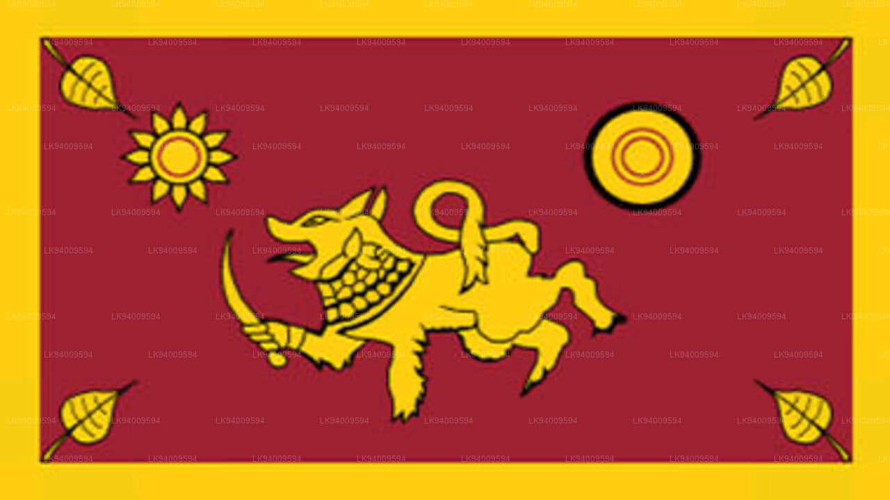 Southern Province
The Southern Province of Sri Lanka is a small geographic area consisting of three districts: Galle, Matara and Hambantota. Farming and fishing are the main sources of income for the vast majority of the people in this region.
-
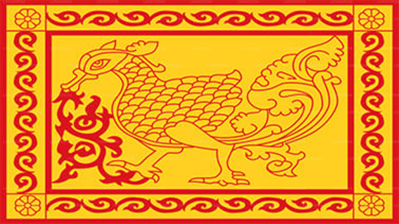 Uva Province
The Uva Province consists of two districts: Badulla and Moneragala while the capital of the province is Badulla. Uva is bordered by the Eastern, Southern and Central provinces.
-
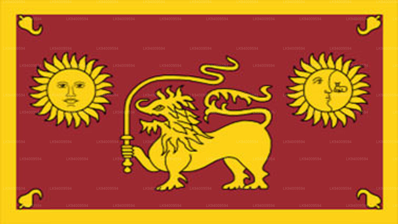 Sabaragamuwa Province
Sabaragamuwa is yet another province of Sri Lanka, located in the south-central region of the island and is comprised of two administrative districts: Ratnapura and Kegalle.
-
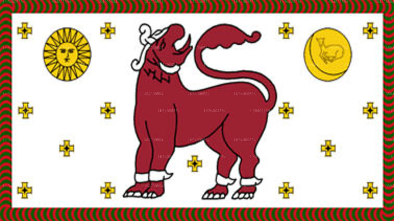 North Western Province
North Western Province is comprised of two administrative districts viz. Kurunegala and Puttalam. The provincial capital is Kurunegala that has a population of 28,571. The province is well known for its coconut plantations.
-
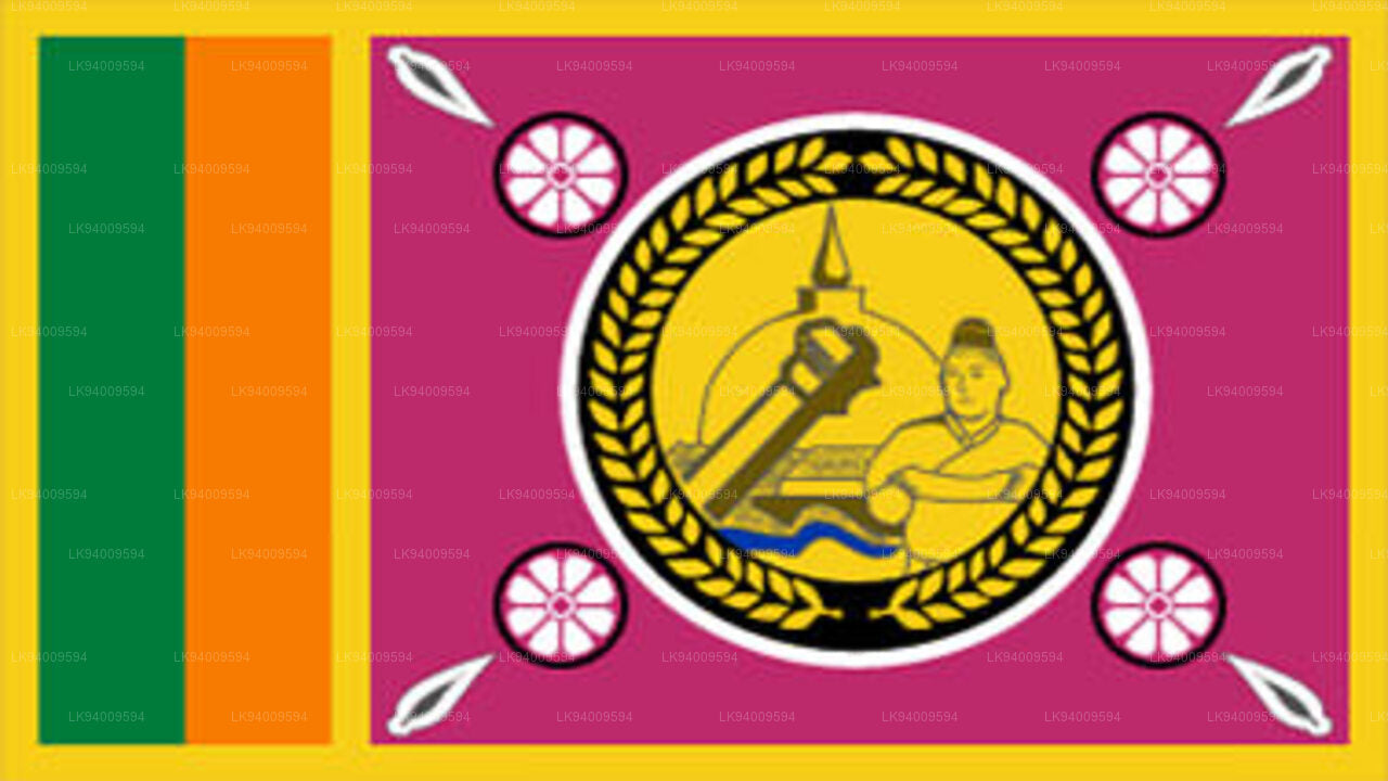 North Central Province
The largest province of Sri Lanka, located in the dry zone being 10,714 km2 in extent, the North Central Province that consists of two administrative districts viz. Anuradhapura and Polonnaruwa,
-
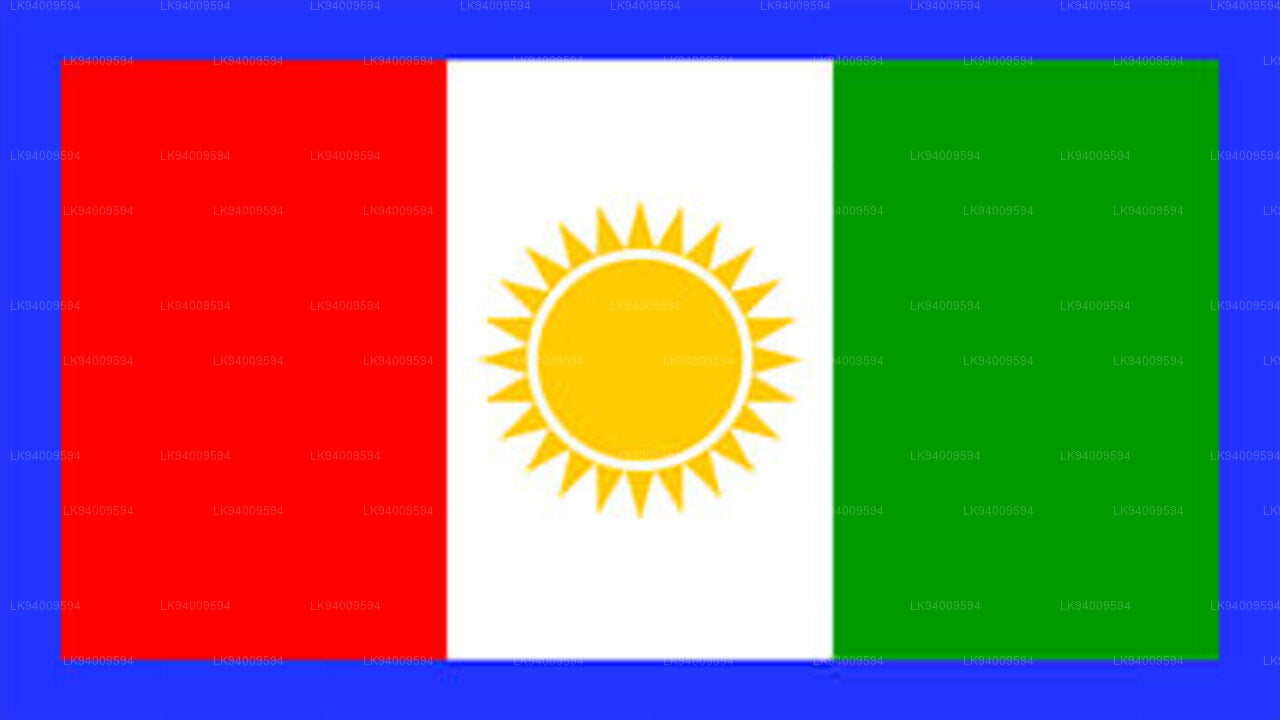 Northern Province
The Northern Province is located in the north of Sri Lanka just 35 km from India. It has a land area of 8,884 km’. The province is surrounded by the Gulf of Mannar and Palk Bay to the west, Palk Strait to the north west, the Bay of Bengal to the north and east and the Eastern, North Central and North Western provinces to the south.
-
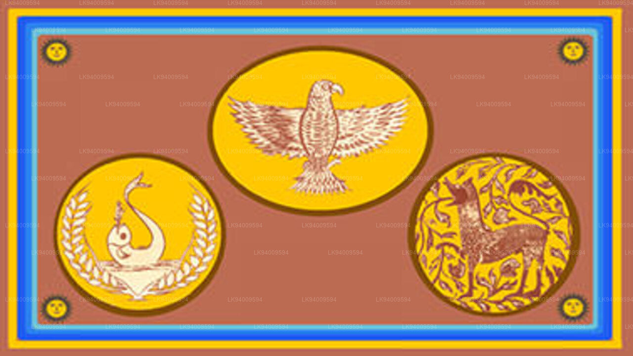 Eastern Province
Another province of Sri Lanka mostly known for its golden beaches and the natural harbour, the Eastern Province which is 9,996 km2 in extent consists of three administrative districts namely Trincomalee, Batticaloa and Ampara.


