
Provinces
The Democratic Socialist Republic of Sri Lanka (known as Ceylon until 1972) is located in the Indian Ocean between the Laccadive Sea in the west and the Bay of Bengal in the east, separated by the Palk Strait and the Gulf of Mannar from Tamil Nadu, an Indian state on the southern coast of the Indian subcontinent.
北西部州
北西部州は 2 つの行政区で構成されています。クルネーガラとプッタラム州都はクルネーガラで、人口は 28,571 人です。この州はココナッツ農園でよく知られています。この州の他の主要な町としてはチラウ(24,712 人) とプッタラム (45,661 人) があり、どちらも小さな漁師町です。この州の人口の大部分はシンハラ人です。また、プッタラム周辺にはスリランカ系ムーア人のかなりの少数派がおり、ウダプワとムネスワラマにはスリランカ系タミル人が住んでいます。漁業、エビの養殖、ゴム農園もこの地域の著名な産業です。州の面積は 7,888 km2、人口は 2,184,136 人です。気候は熱帯性で、顕著な乾季があり、平均気温は1 月で 20 ℃、3 月で 25 ℃ です。州の南部は年間降水量が 2,000 mm と湿潤ですが、州の北部はスリランカで最も乾燥した地域の 1 つで、平均年間降水量は 1,100 mm です。
この州には、12 世紀半ばから 14 世紀半ばにかけてスリランカの 4 つの中世王国の拠点となった多くの考古学的な遺跡が豊富にあります。外国の侵略により首都の移転を余儀なくされたにもかかわらず、スリランカの王たちはパンドゥワスヌワラ、ダンバデニヤ、ヤパフワ、クルネーガラなどの地域に壮大な城塞を建設しました。これらの城塞、宮殿、仏教寺院、僧院の印象的な遺跡は、訪問者に息を呑むような光景をもたらします。
この州には他の古代仏教岩窟寺院もあり、そのほとんどは紀元前 1 世紀に起源を持ち、壁や天井のフレスコ画、巨大な仏像、中世初期から 18 世紀までの石碑や彫刻が残っています。
インド洋の輝く青い波と美しい熱帯のラグーンがあるこの州には、太陽が降り注ぐ広い金色のビーチが長く続いています。これらのビーチは、南端のワイッカルからプッタラム地区のダッチ ベイまで広がっています。
この州で最高のビーチリゾートには、マラウィラ、タラウィラ、カルピティヤ、ワイッカルなどがあります。これらのビーチにはラグーンや川沿いの利点があることが多く、ビーチで過ごす休暇の拠点として最適です。一部のビーチ リゾートでは、カンダクリヤ沖とカライティブ沖の水中のサンゴのワンダーランドを眺めることができます。沿岸部には漁村が多く見られます。
北西部州の管轄区域
-
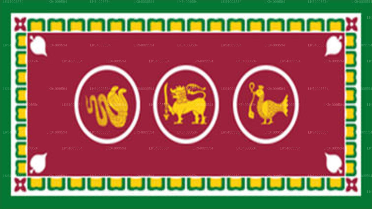 Western Province
The most densely populated province of Sri Lanka, the Western Province which is 3,593 km2 in extent is home to the country’s legislative capital Sri Jayewardenepura. It is also home to the country’s commercial hub, Colombo.
-
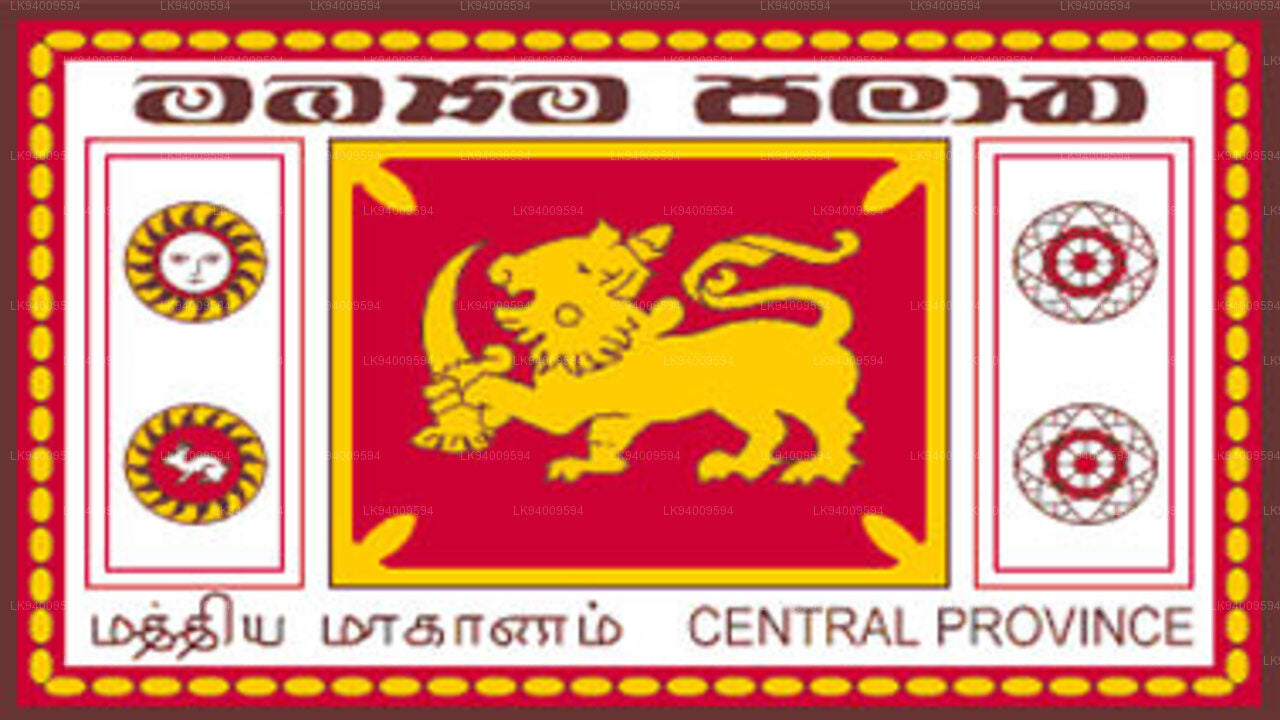 Central Province
The Central Province is located in the central hills of Sri Lanka comprising of three administrative districts: Kandy, Matale and Nuwara-Eliya. The land area of the province is 5,575 km2 which is 8.6% of the total land area of Sri Lanka.
-
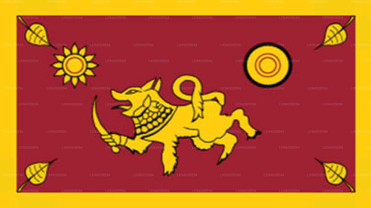 Southern Province
The Southern Province of Sri Lanka is a small geographic area consisting of three districts: Galle, Matara and Hambantota. Farming and fishing are the main sources of income for the vast majority of the people in this region.
-
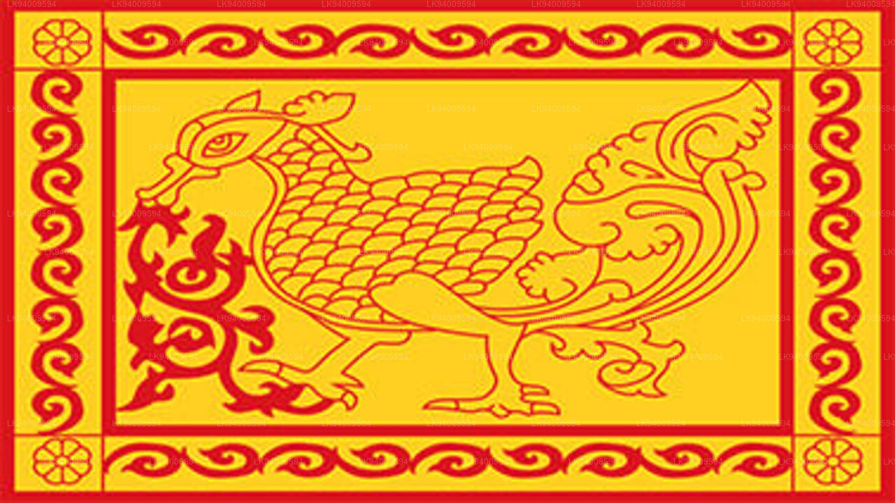 Uva Province
The Uva Province consists of two districts: Badulla and Moneragala while the capital of the province is Badulla. Uva is bordered by the Eastern, Southern and Central provinces.
-
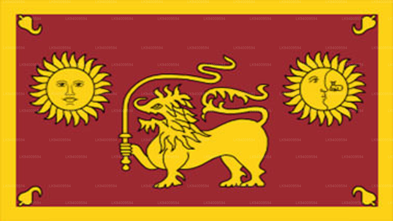 Sabaragamuwa Province
Sabaragamuwa is yet another province of Sri Lanka, located in the south-central region of the island and is comprised of two administrative districts: Ratnapura and Kegalle.
-
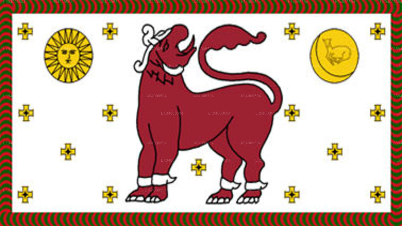 North Western Province
North Western Province is comprised of two administrative districts viz. Kurunegala and Puttalam. The provincial capital is Kurunegala that has a population of 28,571. The province is well known for its coconut plantations.
-
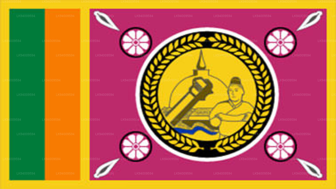 North Central Province
The largest province of Sri Lanka, located in the dry zone being 10,714 km2 in extent, the North Central Province that consists of two administrative districts viz. Anuradhapura and Polonnaruwa,
-
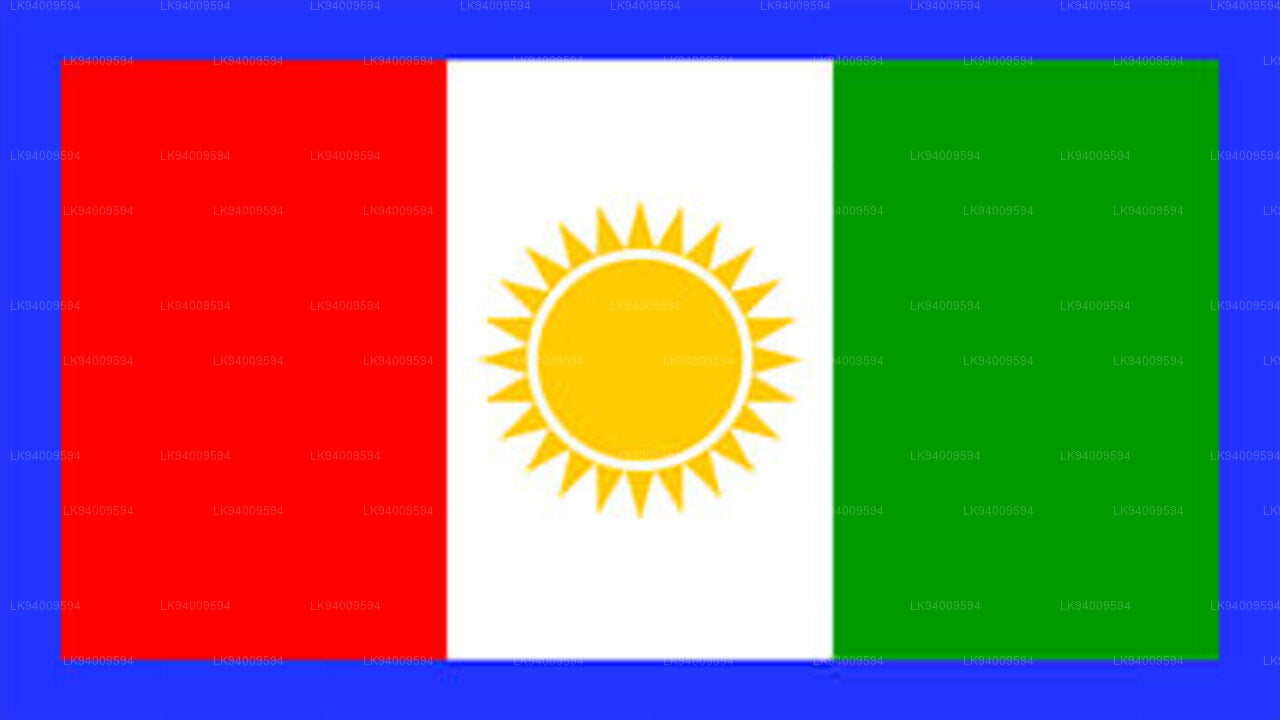 Northern Province
The Northern Province is located in the north of Sri Lanka just 35 km from India. It has a land area of 8,884 km’. The province is surrounded by the Gulf of Mannar and Palk Bay to the west, Palk Strait to the north west, the Bay of Bengal to the north and east and the Eastern, North Central and North Western provinces to the south.
-
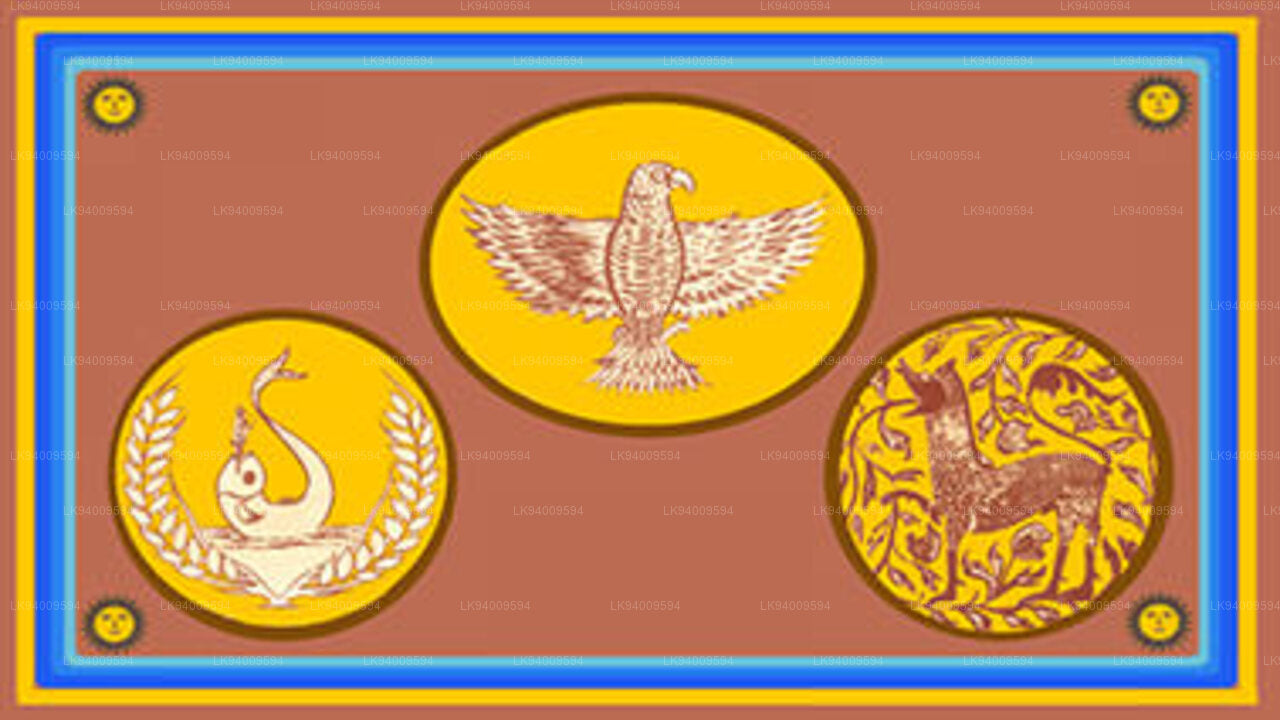 Eastern Province
Another province of Sri Lanka mostly known for its golden beaches and the natural harbour, the Eastern Province which is 9,996 km2 in extent consists of three administrative districts namely Trincomalee, Batticaloa and Ampara.


