
Provinces
The Democratic Socialist Republic of Sri Lanka (known as Ceylon until 1972) is located in the Indian Ocean between the Laccadive Sea in the west and the Bay of Bengal in the east, separated by the Palk Strait and the Gulf of Mannar from Tamil Nadu, an Indian state on the southern coast of the Indian subcontinent.
南部州
スリランカ南部州は、ゴール、マータラ、ハンバントタの 3 つの地区で構成される小さな地理的エリアです。この地域の大多数の人々にとって、農業と漁業が主な収入源です。南部州の重要なランドマークには、野生動物保護区が含まれます。ヤーラ国立公園、ルヌガンヴェヘラ国立公園、ブンダラ国立公園。先史時代のつながりがあるアンバラントタのウッサンゴダからは、ビーチと海、そしてティッサマハーラーマ、キリンダ、ゴールの古代都市のパノラマの景色を眺めることができます。ポルトガル統治時代、ディックウェラ出身のアンダレとマータラ地区デニピティヤ出身のガジャマン・ノナという二人の有名なシンハラ詩人がいて、庶民についての詩を作曲していました。
ゴール地区の北はベンタラ川、南と西はインド洋、東はマータラ地区とラトナプラ地区に接しています。ゴール地区の地形は非常に反対です。ヒニドゥマ・パトゥワの気候条件は、スリランカの中央丘陵地帯と非常によく似ています。この地域は熱帯雨林で構成されており、ゴール地区のほとんどの川や湖の集水域となっています。シンハラジャ森林保護区もその 1 つです。ゴール地区は温帯気候帯にあり、年間降水量は 2000 ~ 2500 mm です。 「ジン ガンガ川」はヒニドゥマ パトゥワのゴンガラの丘から始まり、ネルワ、タワラマ、ナゴダ バッデガマ、テリカダ地域を通過する 113 km (70 マイル) の長旅です。この川は 922 km2 の面積の土地を潤しています。長い旅の後、ギントータでインド洋に流れ込みます。マドゥ ガンガ(川) はポラスカンダから始まり、バラピティヤで海に合流します。ゴール地区の生態学的バランスを維持するのに役立ちます。
ゴール城塞とシンハラジャ森林保護区はユネスコにより世界遺産に登録されています。カンネリヤ森林保護区とヒヤレ森林保護区はゴール地区にあります。
マータラ地区は風光明媚な海帯に囲まれ、自然の美しさに満ちています。輝かしい歴史を持ち、ゴールとハンバントタ地区の間に位置する肥沃な地域です。シンハラジャ熱帯雨林と多くの魅力的な滝で構成されています。マタラ地区は気候的に低地の湿潤地帯に属します。この気候パターンは、島の一般的な状態と同様に続きます。
ハンバントタ地区はスリランカの南東海岸に位置しています。県都は塩の生産の中心地であるハンバントタです。他の有名な町には、タンガラ、アンバラントタ、ティッサマハーラーマ、ベリアッタなどがあります。
1948 年に国が独立し、近代的な開発が行われるまでは、この地区の農業はチェナ栽培であり、非灌漑土地ではある程度水田栽培が行われていました。高地ではトウモロコシなどの穀物とともにクラッカンが栽培されていました。レナード・ウルフの「ジャングルの村」は、ハンバントタの政府補佐官として働いていた英国植民地時代の人々、土地、懸念事項について、非常に興味深く洞察力に富んだ説明を提供しています。
-
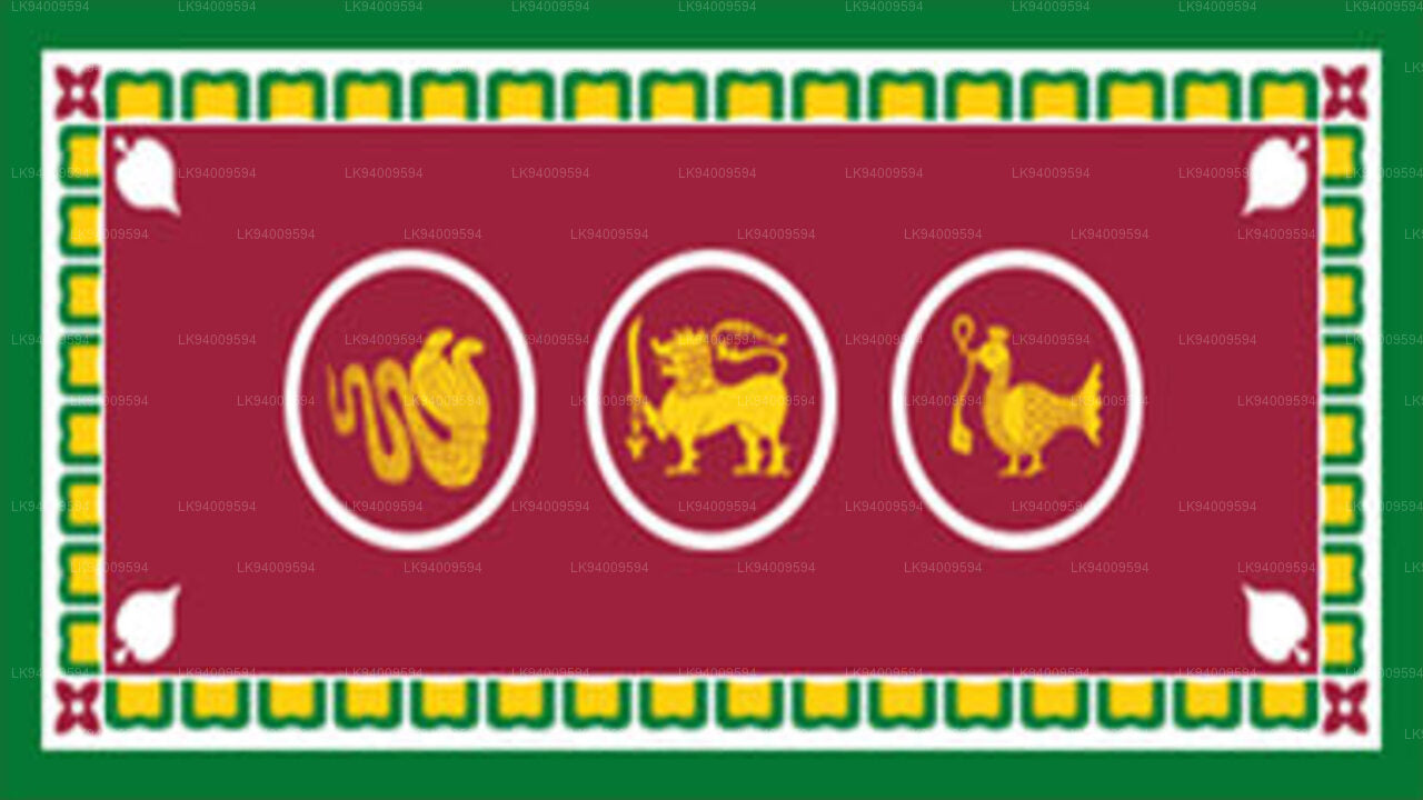 Western Province
The most densely populated province of Sri Lanka, the Western Province which is 3,593 km2 in extent is home to the country’s legislative capital Sri Jayewardenepura. It is also home to the country’s commercial hub, Colombo.
-
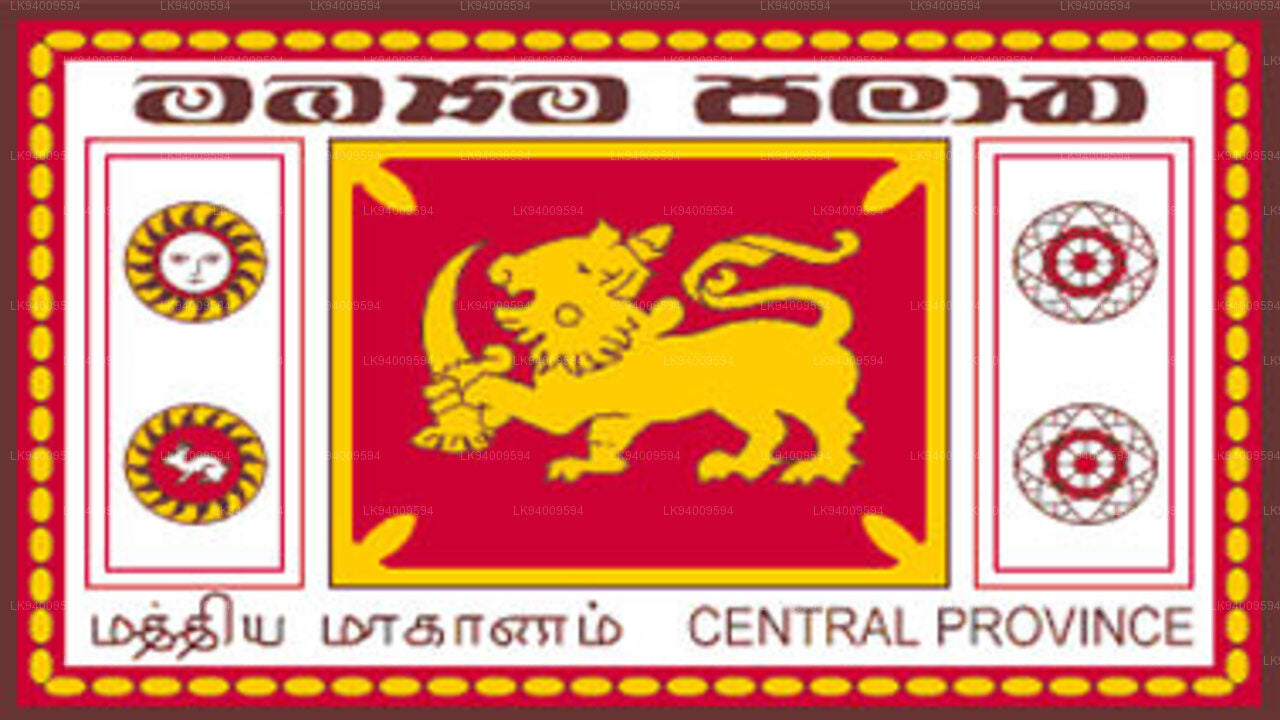 Central Province
The Central Province is located in the central hills of Sri Lanka comprising of three administrative districts: Kandy, Matale and Nuwara-Eliya. The land area of the province is 5,575 km2 which is 8.6% of the total land area of Sri Lanka.
-
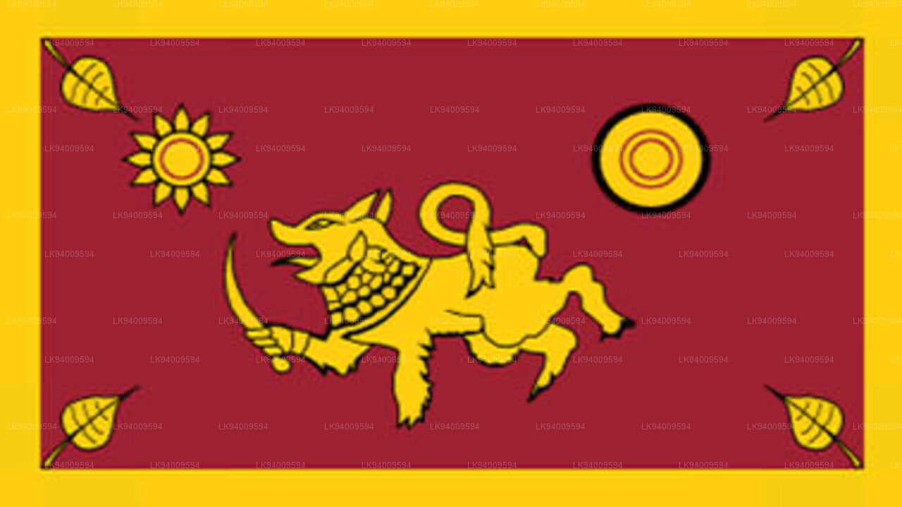 Southern Province
The Southern Province of Sri Lanka is a small geographic area consisting of three districts: Galle, Matara and Hambantota. Farming and fishing are the main sources of income for the vast majority of the people in this region.
-
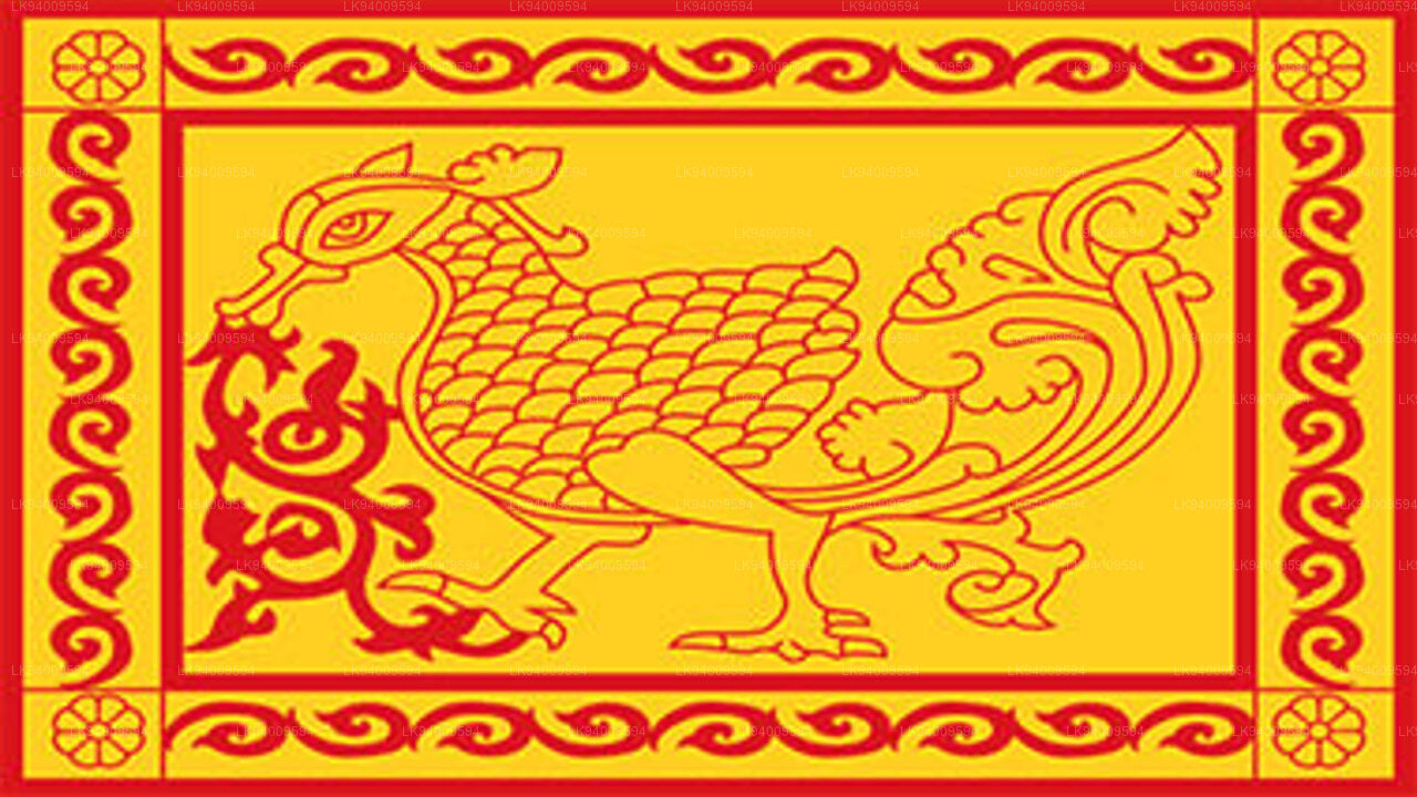 Uva Province
The Uva Province consists of two districts: Badulla and Moneragala while the capital of the province is Badulla. Uva is bordered by the Eastern, Southern and Central provinces.
-
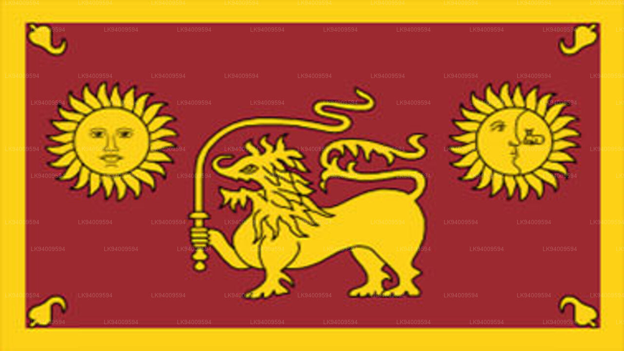 Sabaragamuwa Province
Sabaragamuwa is yet another province of Sri Lanka, located in the south-central region of the island and is comprised of two administrative districts: Ratnapura and Kegalle.
-
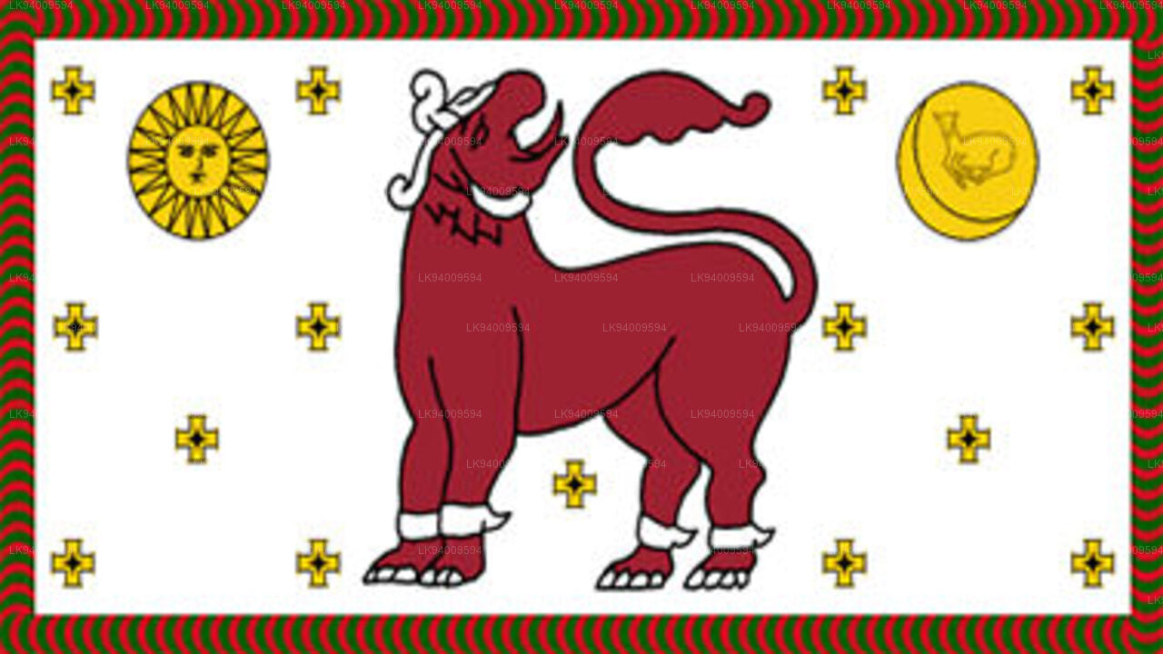 North Western Province
North Western Province is comprised of two administrative districts viz. Kurunegala and Puttalam. The provincial capital is Kurunegala that has a population of 28,571. The province is well known for its coconut plantations.
-
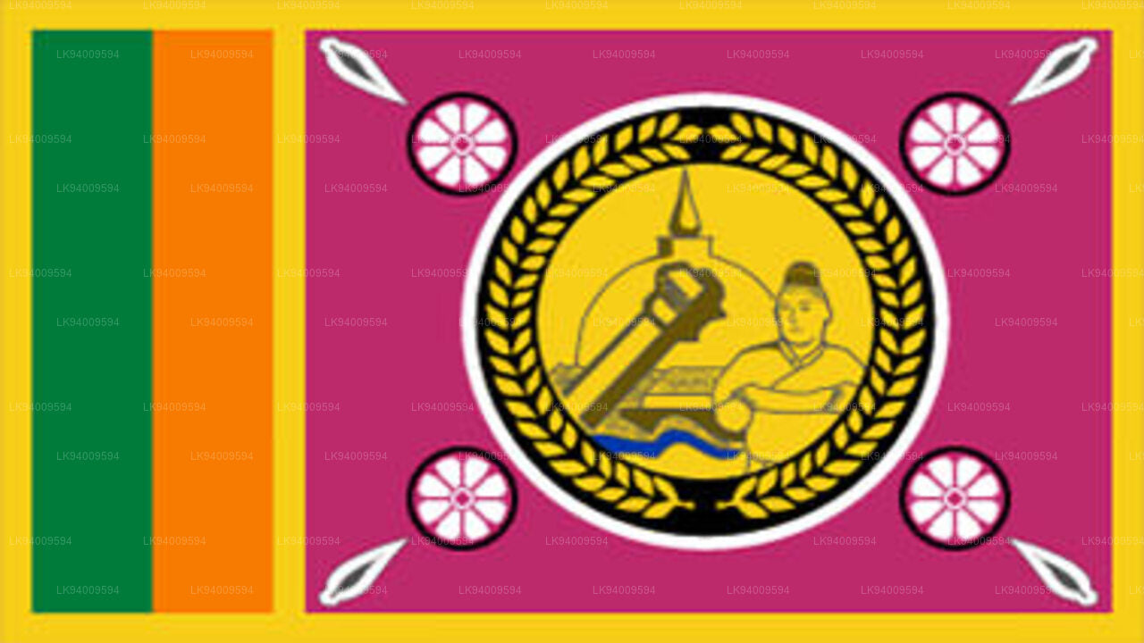 North Central Province
The largest province of Sri Lanka, located in the dry zone being 10,714 km2 in extent, the North Central Province that consists of two administrative districts viz. Anuradhapura and Polonnaruwa,
-
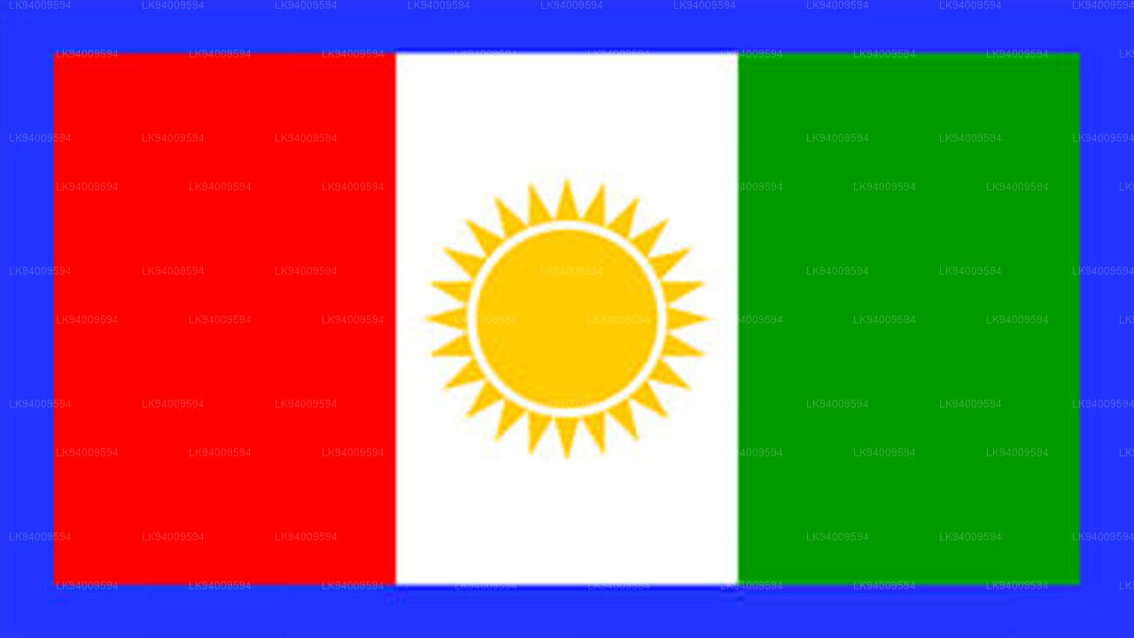 Northern Province
The Northern Province is located in the north of Sri Lanka just 35 km from India. It has a land area of 8,884 km’. The province is surrounded by the Gulf of Mannar and Palk Bay to the west, Palk Strait to the north west, the Bay of Bengal to the north and east and the Eastern, North Central and North Western provinces to the south.
-
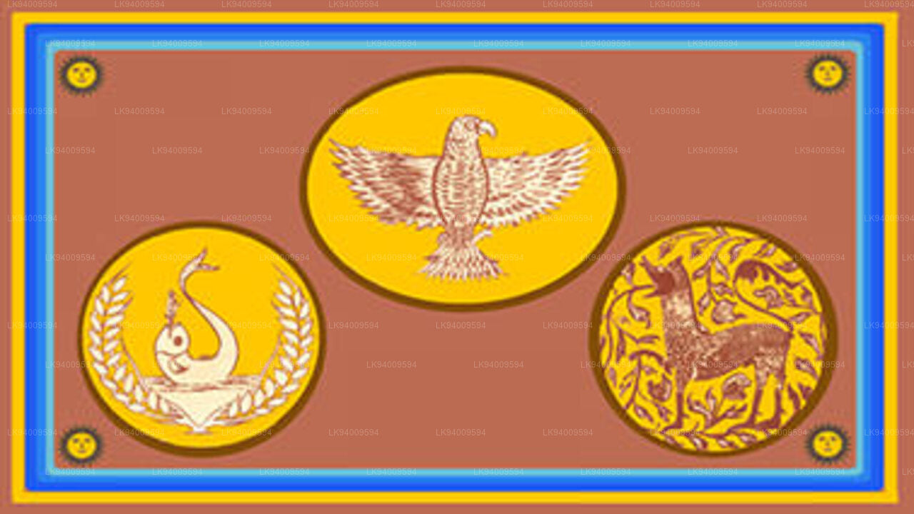 Eastern Province
Another province of Sri Lanka mostly known for its golden beaches and the natural harbour, the Eastern Province which is 9,996 km2 in extent consists of three administrative districts namely Trincomalee, Batticaloa and Ampara.


