About Jaffna District
Jaffna is the capital city of the Northern Province, Sri Lanka. 85% of the populations of the Jaffna and Kilinochchi districts are Hindus. The Hindus follow the Saivite tradition. The remainders are largely Roman Catholics or Protestants, some of whom are descendants of colonial settlers, known as Burghers. The Tamils are divided along caste lines, with the farmer-caste Vellalar forming the majority. Sea products, red onion, and tobacco are the main products in Jaffna.
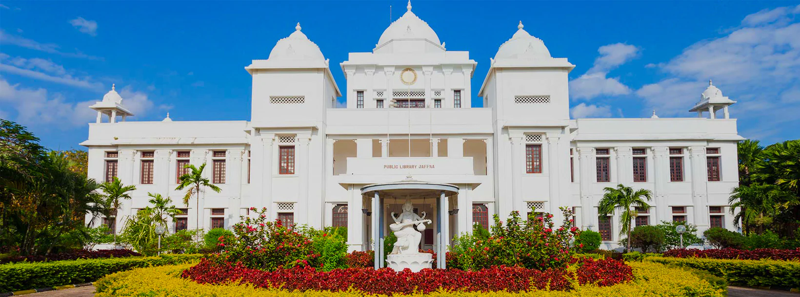
Jaffna is home to beautiful Hindu temples. An Old Dutch Fort still stands well preserved within which is an old Church. Another example of Dutch architecture is the King's House. No visit to Jaffna is complete without tasting the exquisite Jaffna mango, reputed for its sweetness. About 3 km away is the majestic Nallur Kandaswamy Temple, home to the largest religious festival in Jaffna. The Kayts Harbour is an ancient ship docking site in the Jaffna region.
About Northern Province
The Northern Province is one of the 9 provinces of Sri Lanka. The provinces have existed since the 19th century but they didn't have any legal status until 1987 when the 13th Amendment to the 1978 Constitution of Sri Lanka established provincial councils. Between 1988 and 2006 the province was temporarily merged with the Eastern Province to form the North-East Province. The capital of the province is Jaffna.
Northern Province is located in the north of Sri Lanka and is just 22 miles (35 km) from India. The province is surrounded by the Gulf of Mannar and Palk Bay to the west, Palk Strait to the north, the Bay of Bengal to the east and the Eastern, North Central and North Western provinces to the south.The province has a number of lagoons, the largest being Jaffna Lagoon, Nanthi Kadal, Chundikkulam Lagoon, Vadamarachchi Lagoon, Uppu Aru Lagoon, Kokkilai lagoon, Nai Aru Lagoon and Chalai Lagoon.Most of the islands around Sri Lanka are to be found to the west of the Northern Province. The largest islands are: Kayts, Neduntivu, Karaitivu, Pungudutivu and Mandativu.
The Northern Province's population was 1,311,776 in 2007. The majority of the populations are Sri Lankan Tamils, with a minority Sri Lankan Moor and Sinhalese population. Sri Lankan Tamil is the major language spoken in the province by the vast majority of the population. The other language spoken is Sinhala by 1 percent of the population. English is widely spoken and understood in the cities.