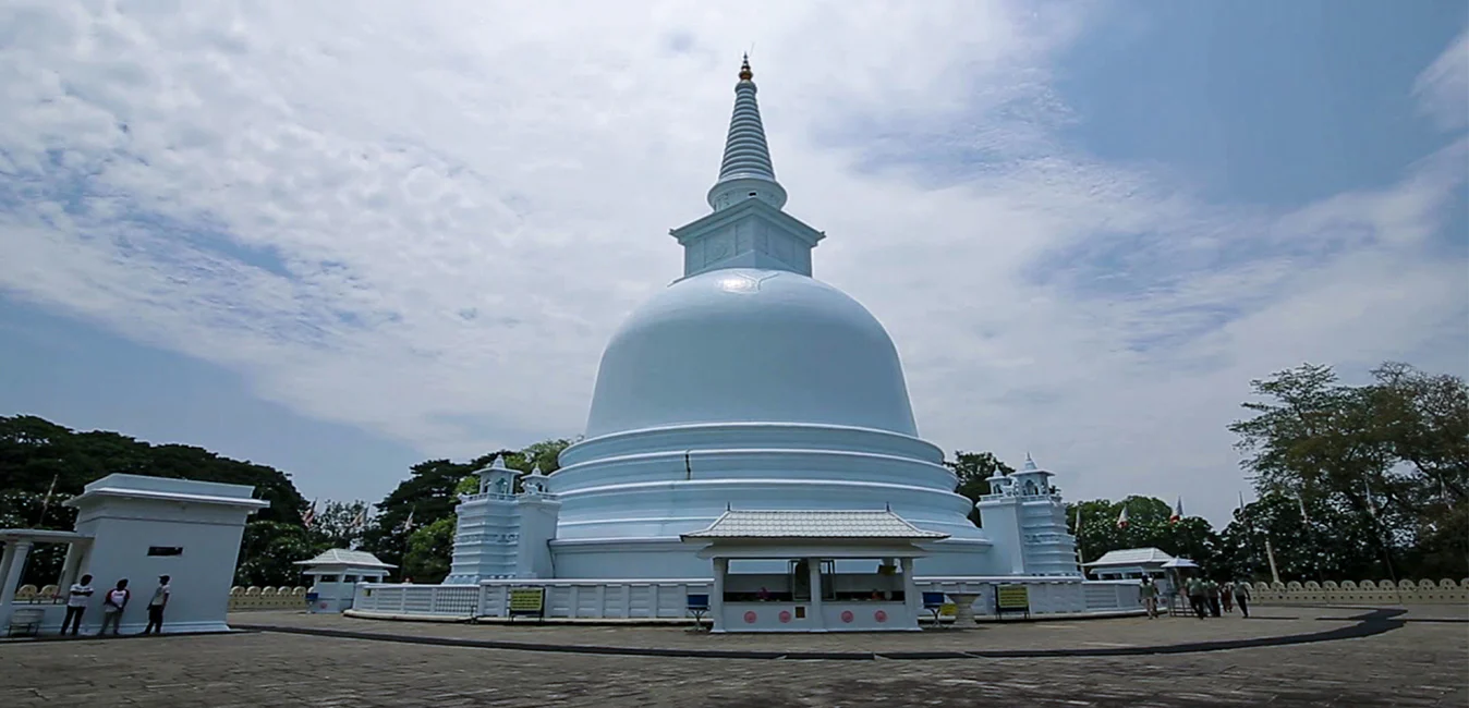
Mahiyanganaya City
Historical town in Sri Lanka, home to the ancient Mahiyangana Raja Maha Vihara and surrounded by lush natural beauty and cultural heritage.
マハウェリ川 (මහවැලි ගඟ)
マハウェリ川は全長 335 km (208 マイル) の川で、スリランカで最も長い川としてランクされています。流域面積は 10,448 km2 (4,034 平方マイル) で国内最大で、島の総面積のほぼ 5 分の 1 を占めています。マハウェリ ガンガの本当の創造は、キャンディ地区のナワラピティヤ川岸にあるヌワラ エリヤ地区の人里離れた村、ポルワトゥラ (マハウィラ地区) から始まり、ハットンオヤとコットマレ オヤがさらに合流し、川は南西側のベンガル湾に達します。トリンコマリー湾の。この湾には、数ある海底峡谷の中で最初のものが含まれており、トリンコマリーは世界で最も素晴らしい深海港の 1 つとなっています。
マハウェリ開発プログラムの一環として、乾燥地帯での灌漑を可能にするために川とその支流の数カ所が堰き止められ、ほぼ 1,000 km2 (386 平方マイル) の土地が灌漑されています。マハウェリ水系の 6 つのダムからの水力発電により、スリランカの電力需要の 40% 以上が供給されています。数多くある川の源流の 1 つがコットマレ オヤ川です。
スリランカでは、マハウェリ語がスリ パダ山から始まるという誤解があります。マハウェリ川は、キリガルポタのホートン平原とトートポラ山脈から水源を得ています。
About Badulla District
Badulla is the capital of Uva Province in Sri Lanka. Badulla is located on the southeast of Kandy, almost encircled by the Badulu Oya River, about 680 meters (2200 ft) above sea level and is surrounded by tea plantations. The town is overshadowed by the Namunukula range of mountains. Badulla is about 230km away from Colombo towards the eastern slopes of central hills of Sri Lanka.
Badulla and surroundings are highly recommended for eco-tourists as Horton Plains National Park and the Knuckles mountains are few hours away.
Special places in Badulla:
About Uva Province
The Uva Province is Sri Lanka's second least populated province, with 1,187,335 people, created in 1896. It consists of two districts called Badulla and Moneragala The provincial capital is Badulla. Uva is bordered by Eastern, Southern and Central provinces. Its major tourist attractions are Dunhinda Falls, Diyaluma Falls, Rawana Falls, the Yala National Park (lying partly in the Southern and Eastern Provinces) and Gal Oya National Park (lying partly in the Eastern Province). The Gal Oya hills and the Central Mountains are the main uplands, while the Mahaweli and Menik rivers and the huge Senanayake Samudraya and Maduru Oya Reservoirs are the major waterways in Uva province.


